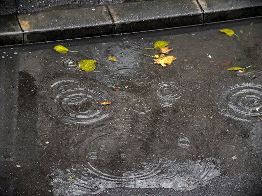
The Met Office and Environment Agency are warning of the possibility of localised flooding, as bands of heavy rain cross Herefordshire and Wales over the weekend.
The heaviest of the rain is expected to fall over the hills and mountains of Wales, meaning levels on the River Wye are expected to rise as we head towards the start of next week. The Environment Agency is keeping a close eye on the situation, but no major flooding is expected in Herefordshire at this stage.
Levels on the Wye at Pant Mawr and Builth Wells are rising following overnight rain and a flood watch is expected to be issued on the Wye over the course of the weekend.
Heavy downpours could cause localised flooding in Herefordshire but this is currently described as ‘low risk’ by The Met Office.
The Environment Agency warning states:
“Widespread flooding is possible across Wales and the northwest of England from surface water from today (Friday) until Sunday and from rivers from today until Monday. Local flooding from surface water and rivers is possible more widely across parts of northern, central and southern England. Properties may flood and there may be travel disruption.”