Could Herefordshire be set for another heatwave? Just a few weeks ago, temperatures in the county reached record highs of 37c, but could similar be on the way?
Current predictions show temperatures heating up next week, but not to the levels that were seen during July.
The Met Office forecast for Hereford shows temperatures rising early next week, with highs of around 29c and 30c by the middle of the week.
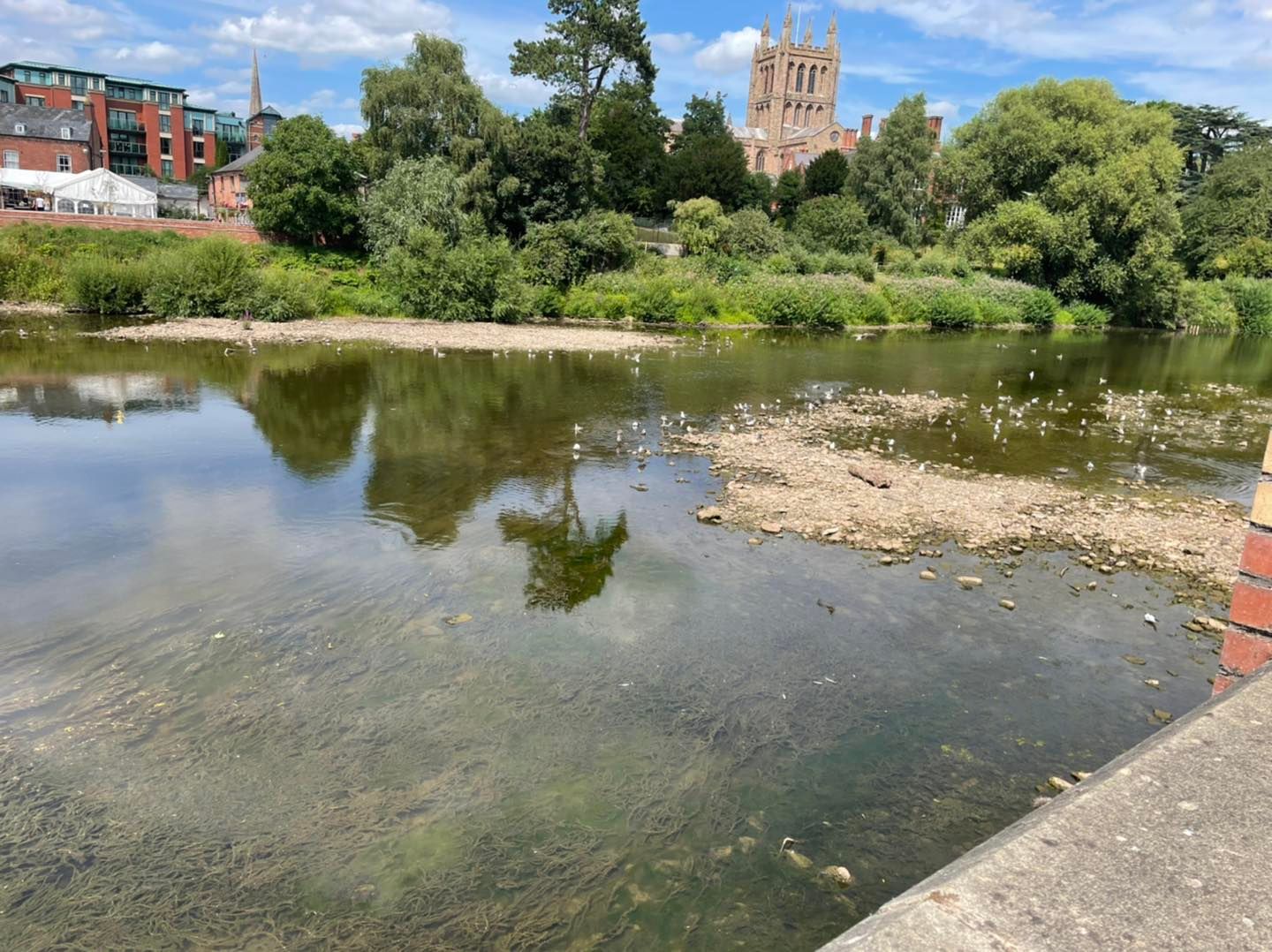
One piece of the forecast that will concern many people, including local farmers, will be the lack of rain in the forecast for Herefordshire over the next 7-10 days. With river levels already low across many areas, the prospects of further hosepipe bans across parts of the country are certainly a possibility.
The Met Office forecast for the United Kingdom from Monday 8th August, to Wednesday 17th August says:
“Most places are likely to see a fair amount of settled weather at the start of this period, with a mix of cloud and sunny spells across the country. Rather cloudy in the north on Monday, perhaps with some rain in the far north, but some bright or sunny spells to the lee of high ground and fine and dry elsewhere. Temperatures generally close to or slightly above average, and perhaps very warm or even hot in central and southern parts. Further into the period there is still the chance of some periods of organised rain in the north, but generally the dry weather is likely to persist across the country. Temperatures remaining above average widely, with further spells of very warm weather possible.”