
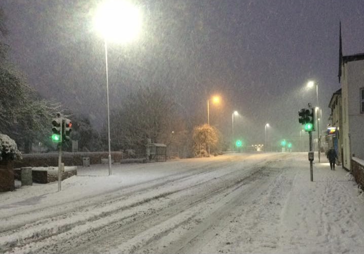
The Met Office has issued a yellow snow warning for parts of Herefordshire on Thursday and Friday.
It should be noted that at present, it appears that any accumulations of snow in the Herefordshire area could be restricted to higher ground, but it will be worth keeping an eye on the forecast over the coming days. Heavy rainfall could also present issues with flooding possible.
From the Met Office:
A band of rain, sleet, and increasingly snow, will push north on Thursday bringing up to 2cm snow at lower-levels, 2-5cm on ground above 200m, and perhaps as much as 10-20cm above 400m.
The snow will ease later in the day, and may turn back to rain or drizzle, especially in the south and east of the area.
There is some uncertainty with respect to the rain/snow boundary, and the northern limit of the snow, and so details may change in the coming days as confidence increases in these aspects.
There is a small chance that power cuts will occur and other services, such as mobile phone coverage, may be affected.
There is a slight chance that some rural communities could become cut off.
There is a small chance of travel delays on roads with some stranded vehicles and passengers, along with delayed or cancelled rail and air travel.
Source: https://www.metoffice.gov.uk/weather/warnings-and-advice/uk-warnings


