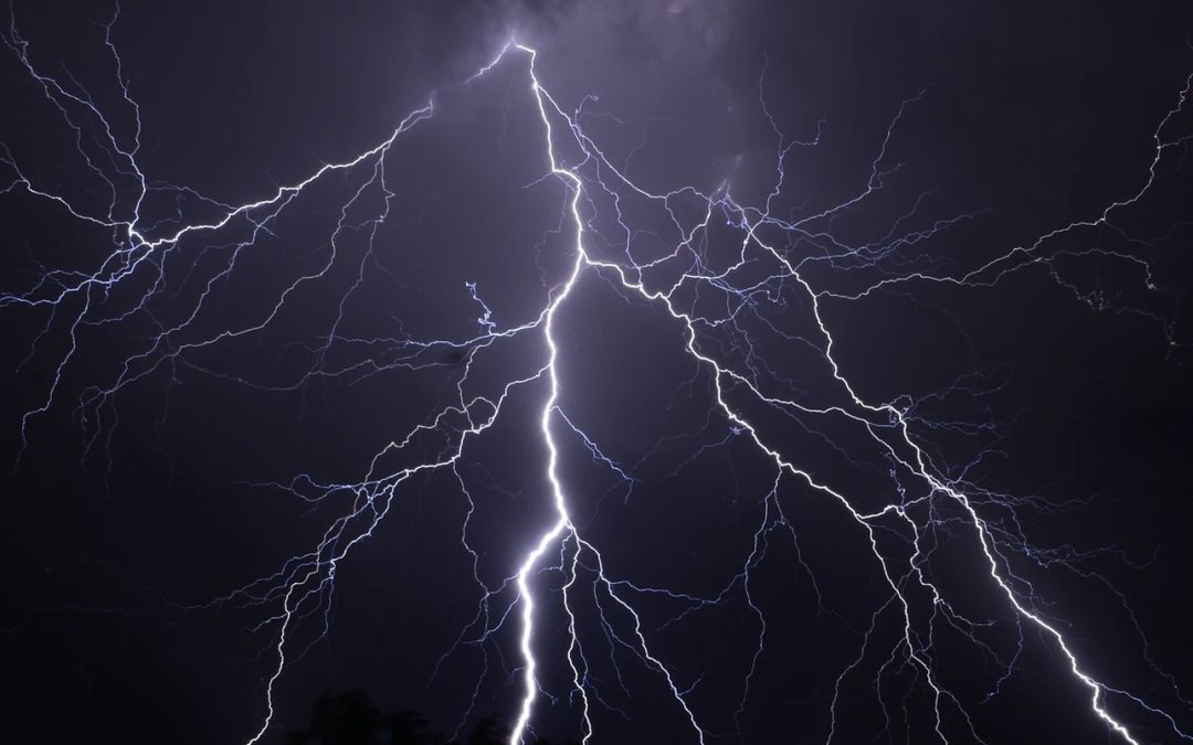
There is concern that thunderstorms could bring an additional wildfire risk, with the ground so dry and lightning strikes possibly starting fires in parts of the UK.
The Met Office has issued a weather warning with thunderstorms likely across parts of the UK, including Herefordshire on Monday and Tuesday.
The storms come after days of very hot conditions across the country, with some places hitting 35c.
With Herefordshire not seeing any real measurable rain for a number of weeks, there is concern that any torrential downpours could lead to flash flooding, with the ground extremely dry in many parts.
The Met Office warning for Herefordshire is valid for today (Monday) and Tuesday and says:
“Already some showers to start the day, but these likely to become more widespread and heavier through the late morning and afternoon, lasting into the evening in places. Some counties are likely to miss the worst of these storms but where they do occur, slow-moving torrential downpours could produce 20-30 mm inside an hour, with 40-50 mm falling in around 2-3 hours in a few spots. Hail and frequent lightning could pose additional hazards for some.”
Full Details – https://www.metoffice.gov.uk/weather/warnings-and-advice/uk-warnings#?id=50a37bf1-60e2-4e48-9db0-903e803c56b6&date=2022-08-15&details