
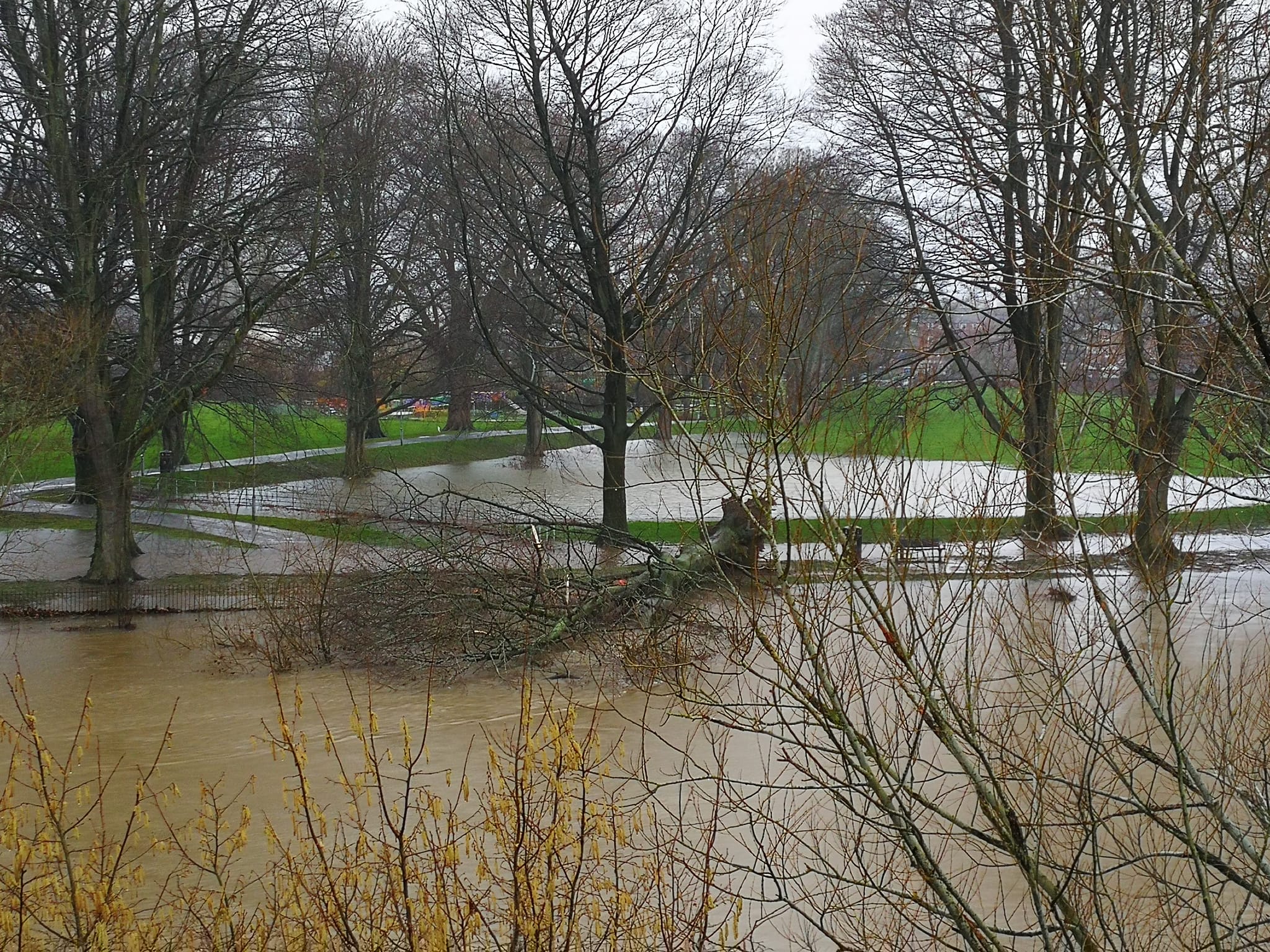
Storm Franklin is set to hit the United Kingdom on Monday, with the worst of the weather expected to be directed towards northern areas of the country.
The storm will affect Herefordshire late on Sunday and into Monday, with gusts of wind expected to reach around 60mph at times. These gusts are likely to cause further trees to fall, following Storm Eunice and recent wet weather.
The Met Office Yellow Weather Warning for Herefordshire is valid from midday today and will expire at 3pm tomorrow.
Warning Detail:
“Winds are likely to strengthen across England and Wales ahead of a band of rain, which itself will turn increasingly squally, as it moves southeast on Sunday afternoon. Gusts of 55-60 mph are expected widely around south and west facing coasts, some of which may be more vulnerable than usual in the aftermath of Storm Eunice. Some places inland may see similar strength gusts, and on the squally rain band itself, gusts potentially as high as 70 mph. Blustery showers will follow with further gusts of 60-70 mph mainly confined to coastal areas in the west during Sunday evening. Whilst a temporary reduction in wind speeds is likely for a time overnight into Monday, winds will again strengthen from the northwest during the morning. Gusts of 50-60 mph are probable inland, especially Wales and western/central England.”
You can view the warning in full by visiting the Met Office website via the following link – UK weather warnings – Met Office


