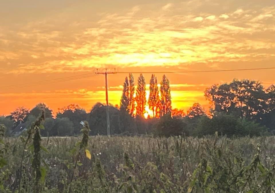
Photo Credit: Lorne Wilden
Official heatwave criteria will be met for large parts of southern UK this week, with temperatures likely to exceed 30°C in some places.
Temperatures will be on the rise in the early part of this week, likely peaking on Wednesday and Thursday with 32°C possible in isolated spots in the southeast.
Met Office Deputy Chief Meteorologist Mark Sidaway said: “High pressure is situated to the southeast of the UK, which is bringing more settled conditions with temperatures on the rise through the first half of this week.
“While the highest temperatures are expected in the south, heatwave conditions are likely across much of England and Wales especially, with parts of Scotland and Northern Ireland also likely to see some unseasonably high temperatures.”
“An active tropical cyclone season in the North Atlantic is helping to amplify the pattern across the North Atlantic, and has pushed the jet stream well to the north of the UK, allowing some very warm air to be drawn north. It’s a marked contrast to the much of meteorological summer, when the UK was on the northern side of the jet stream with cooler air and more unsettled weather.”
Although very warm, there are some breezy conditions in western areas which could subdue the feeling of the temperatures for some.
The exception to the largely very warm conditions this week is the far north and west of Scotland, which will see some periods of showery rain at times, in addition to some North Sea coasts which may see some low cloud. There’s also a chance of some very isolated thundery showers crossing areas to the west from Tuesday, though this is unlikely to be very widespread.
In addition to high daytime temperatures, which could see official heatwaves be observed from as early as Tuesday in some spots, it will remain uncomfortably warm overnight, especially in the south, with a chance of tropical nights, which is when overnight temperatures remain in excess of 20°C.
The highest overnight minimum temperature for September on record is 21.7°C, and this record could be threatened on Wednesday and Thursday nights in particular.
The UK Health Security Agency, which provides alerts specifically for the health and social care sector, has issued a Yellow Heat Health Alertwhich highlights increased risks to those more vulnerable to heat.
Help to protect the vulnerable people that you know including older people, those with underlying conditions and those who live alone; they may need support to keep cool and hydrated. For more advice click here.
How long will the heat last?
While the heat will likely peak on Wednesday and Thursday, temperatures will gradually decline into the weekend, though the southeast should retain the relative warmth the longest.
Mark Sidaway continued: “A cold front will begin to influence things from the northwest ahead of the weekend, bringing temperatures down and an increasing chance of rain for those in the west of Scotland and Northern Ireland.
“There’s still a large degree of uncertainty on the exact timing of this front, and there’s a chance that those further south in the UK could keep some higher than average temperatures through much of the weekend, perhaps even into the start of next week, though even this will be a step down from the peak that we’ll see in mid-week.”