
Heading to Barry Island or Weston-Super-Mare in the next 48 hours? Or the seaside anywhere else across South Wales or Southwest England? Be prepared for strong winds and rough seas.
From Met Office:
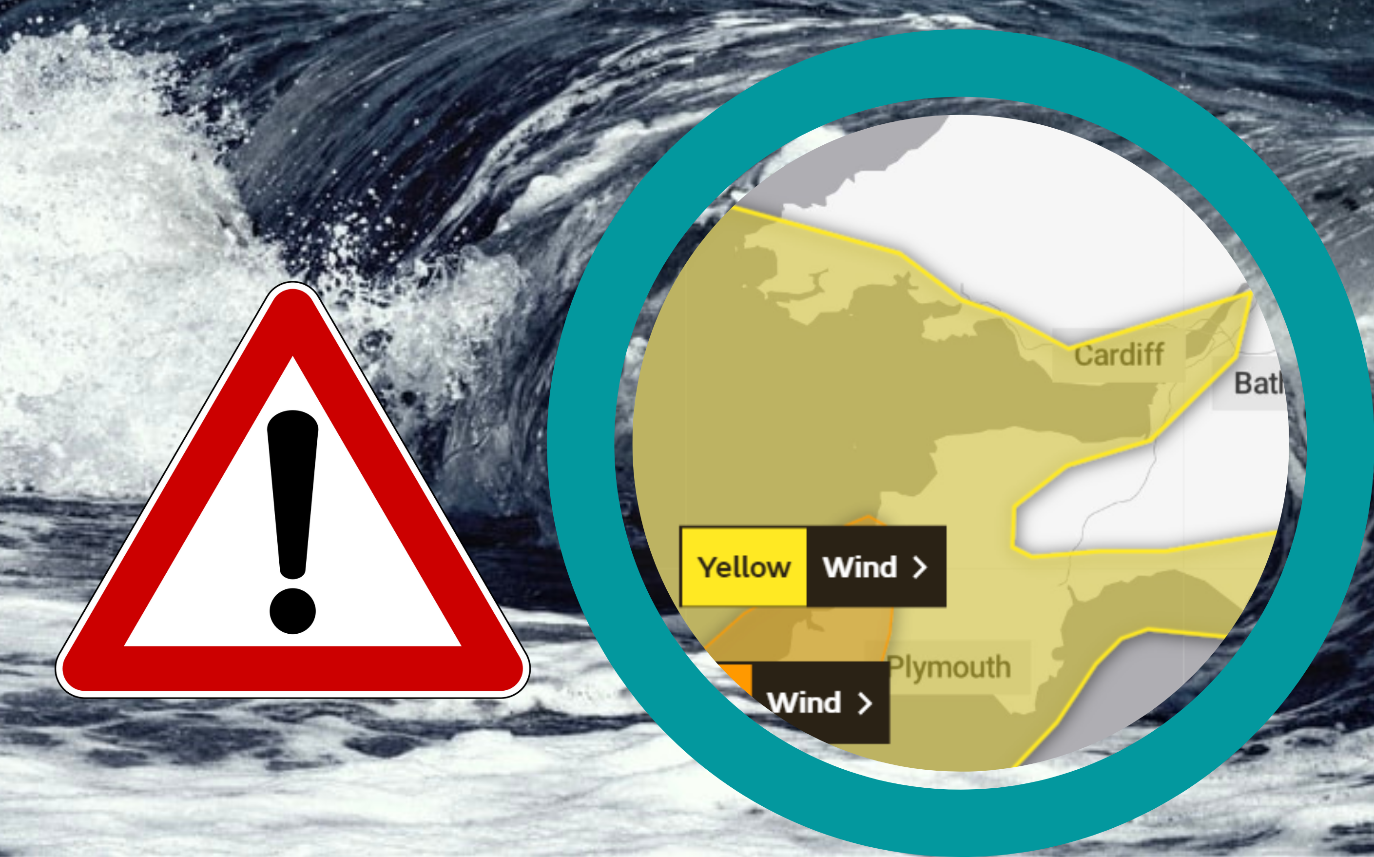
Storm Evert will bring a spell of windy weather with coastal gales into southern parts of England and Wales during Thursday evening onwards through the night into Friday morning. Gusts of 45 to 55 mph are expected quite widely with a chance of gusts of 60 to 65 mph in the most exposed coastal spots. Parts of Cornwall and Wales will see the highest gusts. Winds will then ease from the west during Friday morning. Showery rain will accompany these high winds at times, some of this rain heavy.
What to expect
- Injuries and danger to life from flying debris are possible
- Some damage to buildings, such as tiles blown from roofs, could happen. There may also be some fallen trees and damage to temporary outdoor structures is possible
- Road, rail, air and ferry services may be affected, with longer journey times and cancellations possible
- Some roads and bridges may close
- Power cuts may occur, with the potential to affect other services, such as mobile phone coverage
- Injuries and danger to life could occur from large waves and beach material being thrown onto sea fronts, coastal roads and properties
MORE DETAILS – UK weather warnings – Met Office


