A colder spell is on the way, with the Met Office saying that maximum temperatures will get lower as we head into next week.
Current weather model predictions show a more northerly/north-westerly airstream, which could lead to snow over high ground, especially further north across the UK. (Not quite the snowmageddon that some of the tabloids would have you believe!)
The Met Office forecast for Sunday 21st November – Tuesday 30th November says:
High pressure will often lie close to western or southwestern parts of the UK during this period. This will tend bring a north or northwesterly airflow across the UK, with the most unsettled conditions across northern areas. Here, showers or longer spells of rain are likely with some snow across higher ground, possibly reaching low levels at times. Strong winds are possible across the north, especially around coasts and across high ground. Further south, it is likely to remain somewhat drier and more settled with the chance of some longer sunny spells. However, these clearer conditions will lead to some chilly nights with frost in places and some fog patches, these slow to clear during the morning.
Closer to home, temperatures today are likely to reach highs of around 12c in Hereford. By the time we get to Tuesday next week, temperatures are likely to be only reaching single figures with highs around 8c and overnight frosts likely.
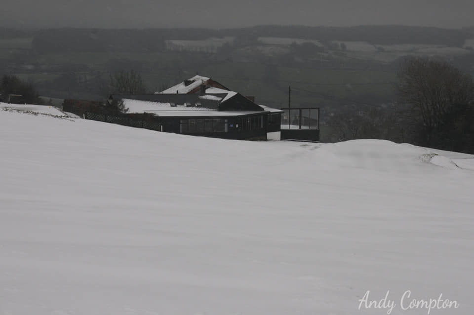
Any snowfall in the coming 10-14 days across low lying Herefordshire looks unlikely, but nothing can be ruled out. Those hoping to see snow in the next week or two will need to book a holiday to the Highlands of Scotland or take a trip up to the top of Pen y Fan if forecasts remain as they are at present.
More Details – Hereford (Herefordshire) weather – Met Office