River levels have peaked at just short of 4 metres at the Old Bridge gauge on the River Wye in Hereford this morning, with just a few riverside paths flooded.
The paths should clear shortly, with river levels now falling, but ice could be an issue with temperatures falling to -5c tonight in Herefordshire.
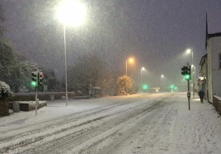
Forecasts this morning show that Herefordshire could get a period of snow this weekend, with some accumulations, before it turns to rain, melting any accumulated snow. There are concerns that this could lead to further flooding as we head into next week.
The Met Office forecast for the West Midlands says:
Friday:
Dry at first with some sunshine, especially in southern counties. Cloud cover increasing with scattered wintry showers moving southwards. Feeling cold and turning breezier. Maximum temperature 6 °C.
Outlook for Saturday to Monday:
Largely dry on Saturday but rain, preceded by snow, likely arriving later. Disruptive snow possible but probably turning back to rain Sunday. Becoming drier on Monday. Cold, though turning milder.
More Details – https://weather.metoffice.gov.uk/forecast/gcq04hx21#?date=2025-01-02
A Met Office warning for snow has been issued for Herefordshire, but this is subject to alterations.
‘Outbreaks of rain spreading northeastwards later on Saturday and overnight into Sunday will likely be preceded by a spell of snow on its northern flank.
‘Whilst there is a fair bit of uncertainty as to how far north this may spread, and how long any snow will last, significant accumulations of snow are possible, especially (but not exclusively) on hills.
‘Currently, parts of the Midlands, Wales and northern England are most at risk of disruption, where 5cm or more could accumulate fairly widely, with perhaps as much as 20-30 cm over high ground of Wales and/or the Pennines. This, accompanied by strengthening winds, may lead to drifting of lying snow.
‘In addition, as milder air attempts to move northwards into southern and central areas, snow may turn to a spell of freezing rain for a time, adding to the risk of ice.
‘If milder air is able to spread more bodily northwards, any snow in southern parts of the warning area may be relatively short-lived before turning to rain.
‘Given the uncertainties, it is quite likely this warning area and start/end times will be refined over the coming days as confidence increases in areas most likely to be impacted.’
Warning link – https://weather.metoffice.gov.uk/warnings-and-advice/uk-warnings#?date=2025-01-02


