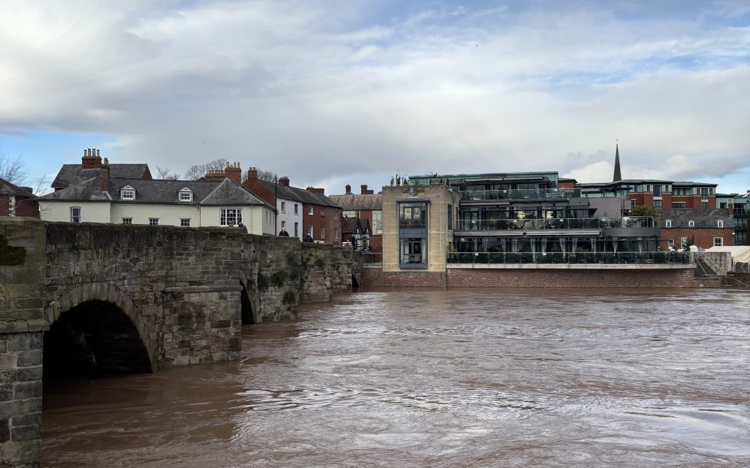
Heavy rain is causing difficult driving conditions on many routes in Herefordshire and South Wales this afternoon.
The Met Office has issued a weather warning for heavy rain across a large area of South and Mid Wales, with an amber warning also in force across some parts.
This is likely to cause rivers in South Wales and Herefordshire to rise over the coming hours, with some localised flooding possible in places.
River levels on the Wye and Lugg are expected to rise, with possible flooding on the Dulas Brook, River Frome, River Arrow and River Leadon. The Yazor Brook in Hereford is also likely to rise over the next few hours, with some flooding possible.
There are currently difficult driving conditions on many routes, including the A465 between Hereford and Abergavenny, where there is a lot of standing water in some places.
We’ve also received reports of standing water on the A438 between Hereford and Brecon and the A40 between Ross-on-Wye and Monmouth. Conditions are likely to remain difficult into this evening, before the rain eases overnight.
We expect flood alerts to be issued on some local rivers over the coming hours. Strong winds will also accompany the heavy rain, with fallen trees a possible hazard.
The Met Office warning for rain across South and Mid Wales:
“Rain will become persistent and heavy through Sunday, clearing to the east overnight but followed by showers into Monday morning.
“Accumulations of 20-40 mm are expected widely, with the heaviest rain over high ground, especially over south or southwest-facing hills.
“As much as 80-100 mm may fall in the most exposed areas, covered by a separate Amber warning.
“Rain will also be accompanied by strong south to southwesterly winds, making for poor travel conditions.”
More details – https://weather.metoffice.gov.uk/warnings-and-advice/uk-warnings#?date=2025-02-23
The Amber Warning for South Wales:
“Rain will become persistent and heavy through the remainder of Sunday, clearing to the east overnight but followed by showers into Monday morning.
“Accumulations of 50-70 mm are expected fairly widely over high ground well-inland, with the most exposed hills potentially receiving 80-100 mm.
“This may lead to some surface water and river flooding.
“In addition, strong south to southwesterly winds will also accompany the rain.”
More details – https://weather.metoffice.gov.uk/warnings-and-advice/uk-warnings#?date=2025-02-23


