
The Met Office has issued three weather warnings for Herefordshire, with heavy downpours and thundery rain likely on Thursday, Friday and Saturday.
Thursday Warning:
An area of rain will continue northwards across parts of southwest England and Wales during Thursday.
The rain will be locally heavy. A few places may see 10-20 mm of rain in an hour, and 30-40 mm in 3 hours or less, leading to a risk of disruption. There is a chance of some thunderstorms forming within this area, particularly during the afternoon.
Winds will also be strong at times, perhaps gusting to 40-50 mph around hills and coasts.
Friday Warning:
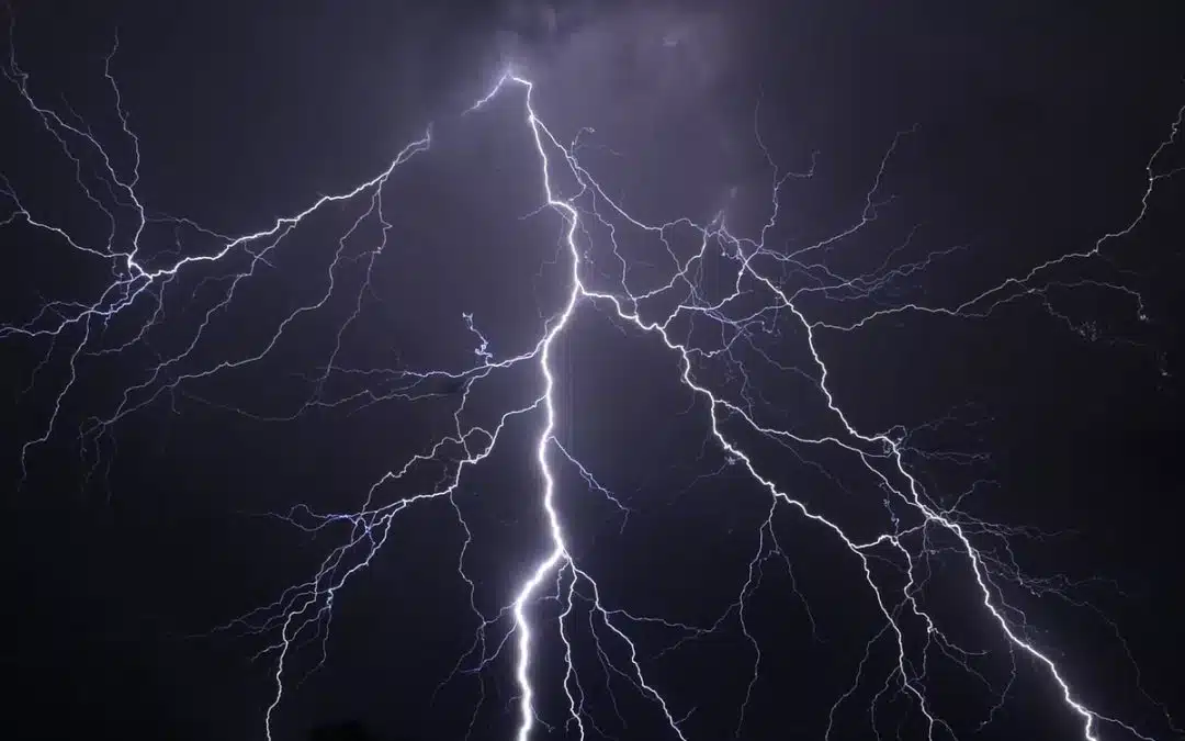
Areas of heavy rain and some thunderstorms are likely to move northwards into southwest England and Wales on Friday evening.
Rainfall amounts and thunderstorm activity will vary across the area however there is the potential for 20 mm of rain to fall in an hour and 30-40 mm to fall in 3 hours or less in a few places. As well as this there is a small chance of frequent lightning and hail within the rain area as additional hazards.
Saturday Warning:
Areas of heavy rain and some thunderstorms will move northwards across areas of England and Wales early on Saturday, reaching parts of southern Scotland later in the morning.
After this first batch of rain moves north, further heavy showers and thunderstorms are likely to break out in its wake.
Rainfall will vary across the warning area and some places will avoid the heaviest rain.
However, 10-20 mm of rain is likely to fall in some places in an hour or less, with potential for 30-50 mm to accumulate in a few hours.
Event rainfall could reach 60-80 mm in some locations. Strong gusts and hail may also accompany some of the thunderstorms.
Met Office link – https://weather.metoffice.gov.uk/warnings-and-advice/uk-warnings#?date=2025-06-12