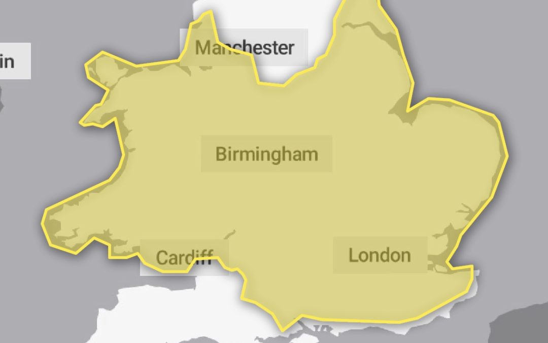
The Met Office has updated the weather warning that is in force for Herefordshire on Sunday.
The warning now focuses on the risk of ice, rather than snowfall, with rain, sleet and snow expected to spread across the county.
It will signal the arrival of a milder spell of weather, with temperatures possibly reaching highs of 13c in Hereford on Monday.
The Met Office warning for Herefordshire says:
“Widespread frozen surfaces ahead of a band of rain, sleet and snow, pushing northeast across the UK though Sunday, leads to a risk of icy conditions through the morning and early afternoon, before conditions turning much milder from the west.
“Any sleet or snow, at least to low levels, will likely only last an hour or two, before turning readily to rain, but this still onto frozen surfaces for a time.
“Temporary accumulations of 1-2cm to lower levels, and perhaps locally 3-5cm across the Welsh mountains, with any snow starting to melt readily from late morning. As this will melt rapidly, snowmelt may briefly add to the ice risk.
“In addition to the ice and snow risk, strong winds are expected, mainly over higher ground.”
More Details – https://www.metoffice.gov.uk/weather/warnings-and-advice/uk-warnings#?date=2022-12-18&id=0cd37da1-bb2e-4889-bcee-58536f3b16ba&details