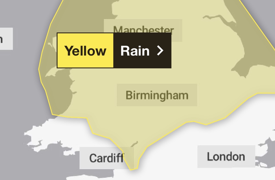
Herefordshire has been told to brace for up to 24 hours of rain, from midnight tonight, until the early hours of Thursday morning.
The Met Office had originally left Hereford out of its warning for heavy rain on Wednesday, but model updates have meant that the warning area now covers much of Wales and the Midlands.
An area of rain is expected to develop across eastern and central England and then move northwestwards to affect northern England and north Wales during Wednesday afternoon.
The area of rain could then become slow moving, heavy and persistent, especially over north facing hills, before clearing during Thursday morning.
There is a lot of uncertainty over exactly where the heaviest rain will occur and this warning is likely to be updated.
Many places will see 30-40 mm of rain, while a few areas may receive 60-80 mm.
There is also a small chance that a few upland areas could see much higher totals, in the order of 100-150 mm.
Met Office Advice:
Check if your property could be at risk of flooding. If so, consider preparing a flood plan and an emergency flood kit.
Give yourself the best chance of avoiding delays by checking road conditions if driving, or bus and train timetables, amending your travel plans if necessary.
People cope better with power cuts when they have prepared for them in advance. It’s easy to do; consider gathering torches and batteries, a mobile phone power pack and other essential items.
Be prepared for weather warnings to change quickly: when a weather warning is issued, the Met Office recommends staying up to date with the weather forecast in your area.


