The Met Office has this morning issued two warnings for snow for Herefordshire.
The first warning covers both today and tomorrow:
Showers will continue at times across many areas, these largely of rain and sleet at low levels across southern England and southern Wales and near coasts but will be of sleet and snow elsewhere. These will bring a cover of snow in places. 1-3 cm could accumulate at low levels, mostly across Northern Ireland, Scotland and northern England but as much as 5-10 cm of additional snow may accumulate at higher levels of these areas. Clear skies between showers will also bring the threat of ice.
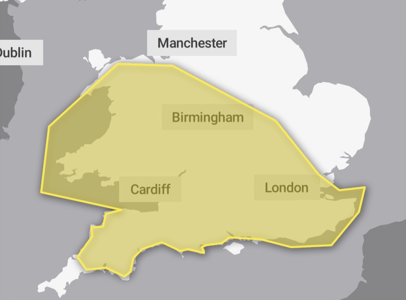
The second warning is regarding an area of snow that may cross Herefordshire on Sunday:
An area of rain will cross the west and southwest of the country on Sunday morning and turn readily to snow as it spreads eastwards, and also lead to some icy surfaces. Mainly 1-3 cm of snow accumulation for most parts, but possibly 5-10 cm over 100 m with a small possibility of 10-15 cm over high ground for example on Dartmoor, the Brecon Beacons and Snowdonia. These snow amounts will cause some disruption to transport, especially on routes that cross even modest high ground.
Image Credit: OpenMapTiles / OpenStreetMap