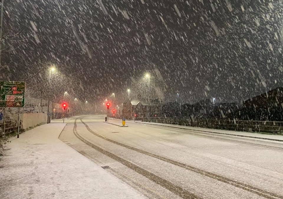
Bryan Hicks from Herefordshire Weather Watch has kindly provided us with his thoughts on the upcoming snow / rain event that is set to hit Herefordshire, as well as other parts of England and Wales on Saturday evening and into Sunday.
The Met Office has issued an Amber warning for Herefordshire, with 3-7cms of snow possible on Saturday evening, before a rapid thaw is expected to occur on Sunday morning when milder air moves in.
Bryan has shared his thoughts with us. Bryan shares regular updates on the weather (particularly snow!) on his Facebook Group – Herefordshire Weather Watch.
Visit now – https://www.facebook.com/share/g/1BCkdY4b8u/?mibextid=wwXIfr
Here are Bryan’s thoughts on the upcoming snow risk over the next 48 hours:
“In the near future Saturday will be the main day for snow risk. Saturday starts cold and bright but as we go through the afternoon we see cloud start to build as a low pressure system starts to push into the UK bringing that snow risk as milder temperatures meet the cold.
“Snow is looking pretty decent on the leading edge with an estimated 5cm and more over higher ground, (but a true volume is very hard to predict).
“There are some mixed opinions on how long it takes to push through with variations of 9pm Saturday to 1am Sunday before milder temperatures take control and things to sleety rain.
“Definitely one to be careful of as these events can cause issues quite quickly and catch us out.
“Looking ahead Sunday looks quiet on the snow front but Monday in the early hours will see a return of some snow showers. This is one to keep an eye on over the coming days.
“There is another low pressure popping up on few models for a week Saturday, but take that with a pinch of salt at this range for another risk of a good snow spell but please remember this is over a week away and very early signs.”


