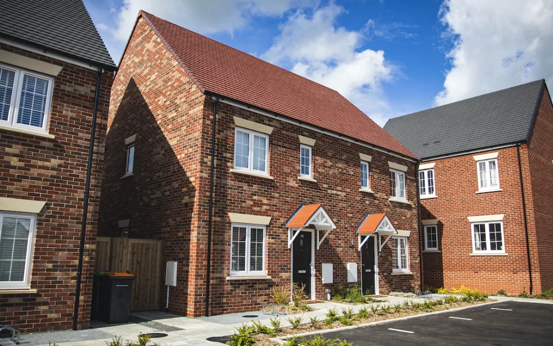
Up to 540 new homes could be built on the outskirts of Hereford, alongside plans for a new country park, employment lane and a sports pitch.
The development, in the Lower Bullingham area of Hereford, is likely to be much smaller than the previous plans for more than 1,000 homes that was announced in 2019.
Developer Bloor Homes is hoping that the smaller development, alongside local amenities such as a country park and play area, will get the go ahead.
The Development Proposal follows a previous proposal (which is currently the subject of a live planning application) that includes the Site as well as additional land forming the Southern Urban Expansion allocation site.
The Site is situated in Lower Bullingham, approximately 2.1km to the south of Hereford city centre.
The Site and surrounding land that is allocated for development under the Southern Urban Expansion (Lower Bullingham) is currently the subject of an existing outline planning application under planning application reference P194402/O for a larger development proposal than the current Proposed Development.
That application was submitted on Friday 20th December 2019, but it is pending determination.
Since Herefordshire Council’s withdrawal of the planned bypass, a significant amount of work has been undertaken by PJA Transport Consultants over the past 18 months to establish what level of development at the Site would be acceptable in relation to the operation of the A49 and the local highway network in consultation with National Highways (NH) and Herefordshire Council.
The scheme the subject of this scoping exercise has, therefore, been the subject of very lengthy discussions with the local highway authority and NH to establish an appropriate amount of development that could be delivered at the Site.
Those discussions have confirmed that a proposal for up to 540 dwellings and circa 5 hectares of employment land could be delivered in advance of any bypass, link road, or wider highway improvements (subject to several on and off-site mitigation measures and assuming the active travel strategy is in place).
This conclusion generally aligns with the Herefordshire Core Strategy which anticipates a similar number of dwellings being delivered prior to the delivery of the Southern Link and a river crossing associated with a western bypass.
The total Site area in relation to this scoping request is approximately 42 hectares. The Site is roughly divided into four land parcels:
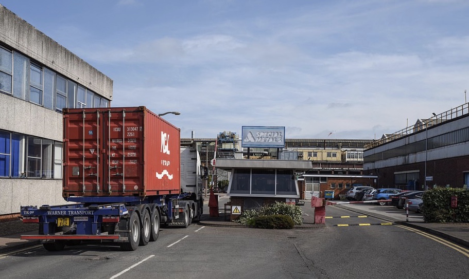
The largest land parcel is situated south/west of Watery Lane and the Rotherwas Industrial Estate, and to the north of the B4399. The Red Brook runs centrally through the parcel. To the south there is further agricultural land which forms part of the wider allocated Urban Expansion site.
The red line also extends from this parcel across Watery Lane to Twyford Road to provide for a new bus / cycle / pedestrian connection to the Rotherwas Industrial Estate.
A further land parcel is situated between Green Crize Lane and Lower Bullingham Lane, to the west of the largest land parcel contained in the red line site area. This land parcel lies directly south of the Welsh Marches railway line which separates this part of the Site from the existing built-up area of Lower Bullingham.
An additional area is situated south-west of the largest land parcel, which is proposed as a possible new Country Park. This land parcel is situated to the west of the rear gardens of existing dwellings along Hoarwithy Road and to the east of Norton Brook. The B4399 is situated further south.
Finally, a very small area of land is also included in the red line to the south of the Welsh Marches railway line and west of Watery Lane to allow a vehicle-by-pass facility on Watery Lane for use by residents along the lane in time of flood.