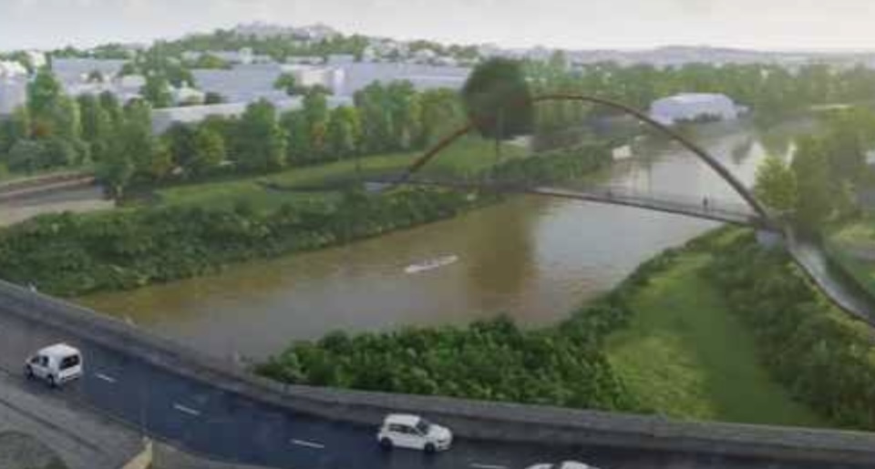
Plans have been approved for a new river crossing over the River Wye in Monmouth.
The new crossing will be for pedestrians and cyclists, as part of new active travel measures in the town.
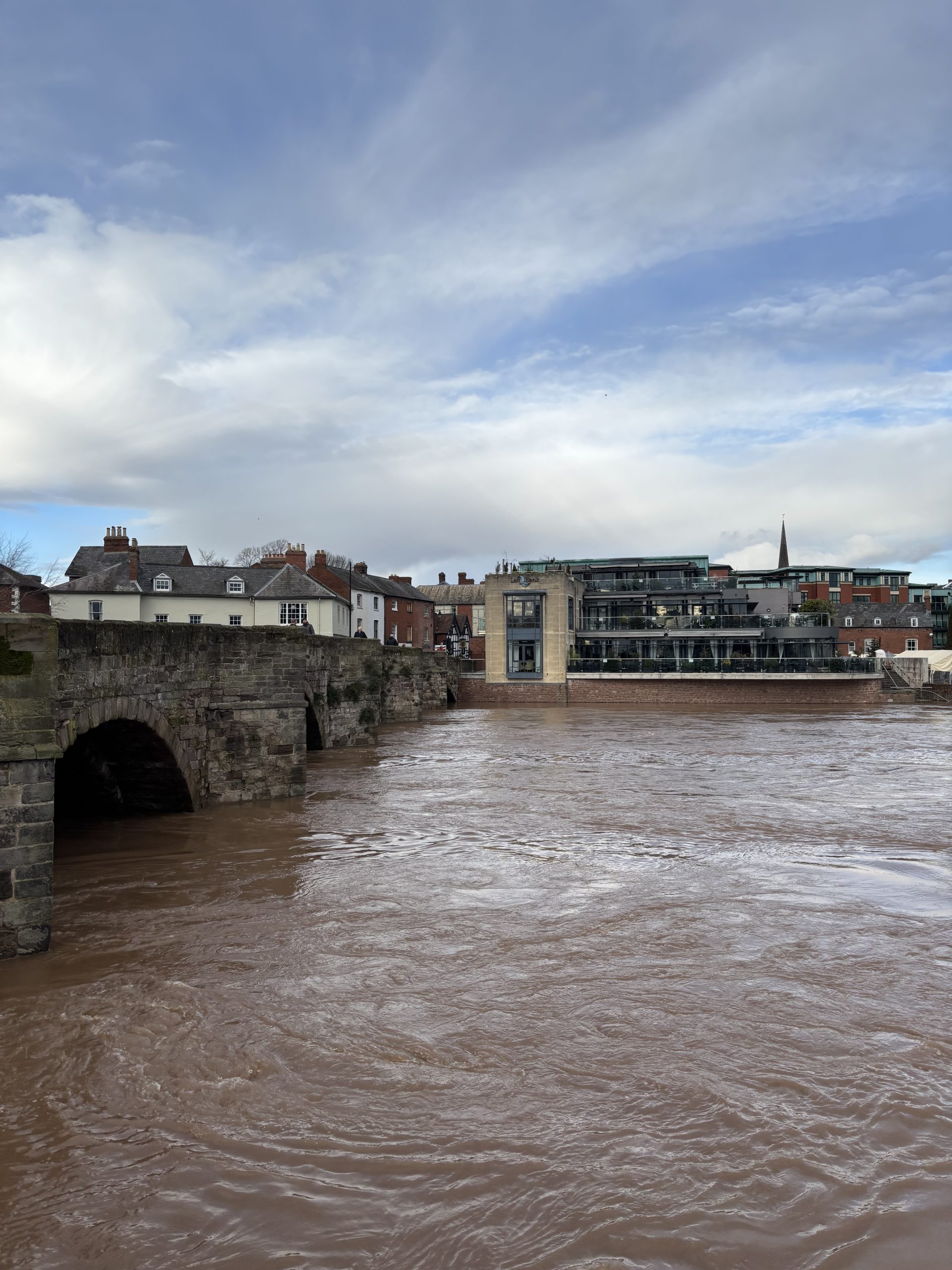
The Wye Bridge crosses over the River Wye and is located in the town of Monmouth, South Wales. It provides a vital connection between the suburb of Wyesham and the town centre of Monmouth (population 10,508).
It also provides the through route access to the A40 for the A466 (Wye Valley) and A4136 (Forest of Dean).
The River Wye and the A40 create a severance feature for the residents of Wyesham and the surrounding communities in terms of active travel access into Monmouth town centre and the surrounding area.
The existing active travel route from Wyesham into Monmouth Town Centre is via the Wye Bridge, utilising the narrow footpath located next to the carriageway and then via a subway under the A40.
This active travel route is heavily utilised with an estimated 1,424 pedestrians and 130 cyclist journeys per day.
The bridge is heavily congested with vehicular traffic resulting in conflict between the user groups and thus an unsafe environment for pedestrians and cyclists.
The brief is to construct a separate active travel bridge near to the existing Wye Bridge to provide a safer crossing for pedestrians and cyclists and connect this route to the wider public rights of way network.
Construction of an active travel bridge that will be sensitive to its surroundings and minimise the impact on the surrounding landscape, designated ecological sites and cultural assets such as the existing listed Wye Bridge.
To connect with and enhance where possible existing public rights of way to provide a better overall experience for users of the public rights of way network.
Lighting will be kept to a minimum (whilst being sufficient to ensure the safety of users of the route) to avoid light spill on the surrounding landscape, adjacent properties and to ensure that there is no adverse impact on the wildlfe species along the river corridor.
To include landscape planting to better integrate the bridge into the surrounding environment and provide additional benefits such as integration of SuDS, enhanced biodiversity and to help to soften boundaries between private and public realm.
The Site bridges over the River Wye and encompasses land on both its western and eastern riverbanks.
The western part of the Site is crossed by the Wye Valley Walk and includes land in use as amenity open space.
The amenity greenspace includes several mature trees and can be accessed from the south via a ramp leading onto the existing Wye Bridge crossing or via a pedestrian underpass that provides access towards Monmouth’s town centre.
Further north there is a public pay and display car park which is also used by the Monmouth Rowing Club. The launch area for kayaks/ canoes lies within the site boundary.
The eastern part of the Site includes land associated with some residential properties on Riverside Park, land used for Monmouth School’s Rowing Club and a small area of hardstanding that is used for an informal parking adjacent to the A466.
Monmouth School for Boys (MSfB) is located to the south west of the site and their sports facilties are located to the south and east of the site.
The existing bridge is used by students to access these facilities.
The positioning of the access ramp and elevated position of the bridge are likely to give rise to privacy issues for properties located along Riverside park and the MSfB Rowing Club.
The site and Monmouth town is located within the River Wye Valley.
The River Wye is also joined by the River Monnow and the river Trothy to the south of the site creating a unique river landscape of multiple valleys surrounded by hills and higher landform.
The surrounding area is well wooded, particularly on the higher slopes, much of which is designated as ancient woodland and forms a strong wooded backdrop to Monmouth.
Along the river corridors are bands of riparian vegetation and along the A40 and the A4136, roadside vegetation.
A mix of pasture and arable farmland form the landscape around these areas of vegetation and surround the town of Monmouth, creating a rural character outside of the town.
Monmouth itself is a historic market town, which is rich in character and historic architecture and attracts many tourists every year.
Key buildings and landmarks within Monmouth include Monmouth Castle, the Shire Hall, the Wye Bridge, the Monnow Bridge, the Church of St Peter and Monmouth School for Boys.
The townscape includes several buildings which are listed and two conservation areas.
The area is also forms part of Registered Historic Landscape, valued for its scenic beauty, relevance to local settlement patterns, strategic importance as a military and defensive measure, associations with local industry and means for transport and communication.
A vehicular underpass that aligns beneath the A40 and connects the car park within the Site to Old Dixton Road includes mosaic art pieces along its walls, titled “Images of the Wye Valley” and reflect some of these historic associations.
You can view the application in full by visiting – https://planningonline.monmouthshire.gov.uk/online-applications/applicationDetails.do?activeTab=documents&keyVal=RN2X27KYFSR00


