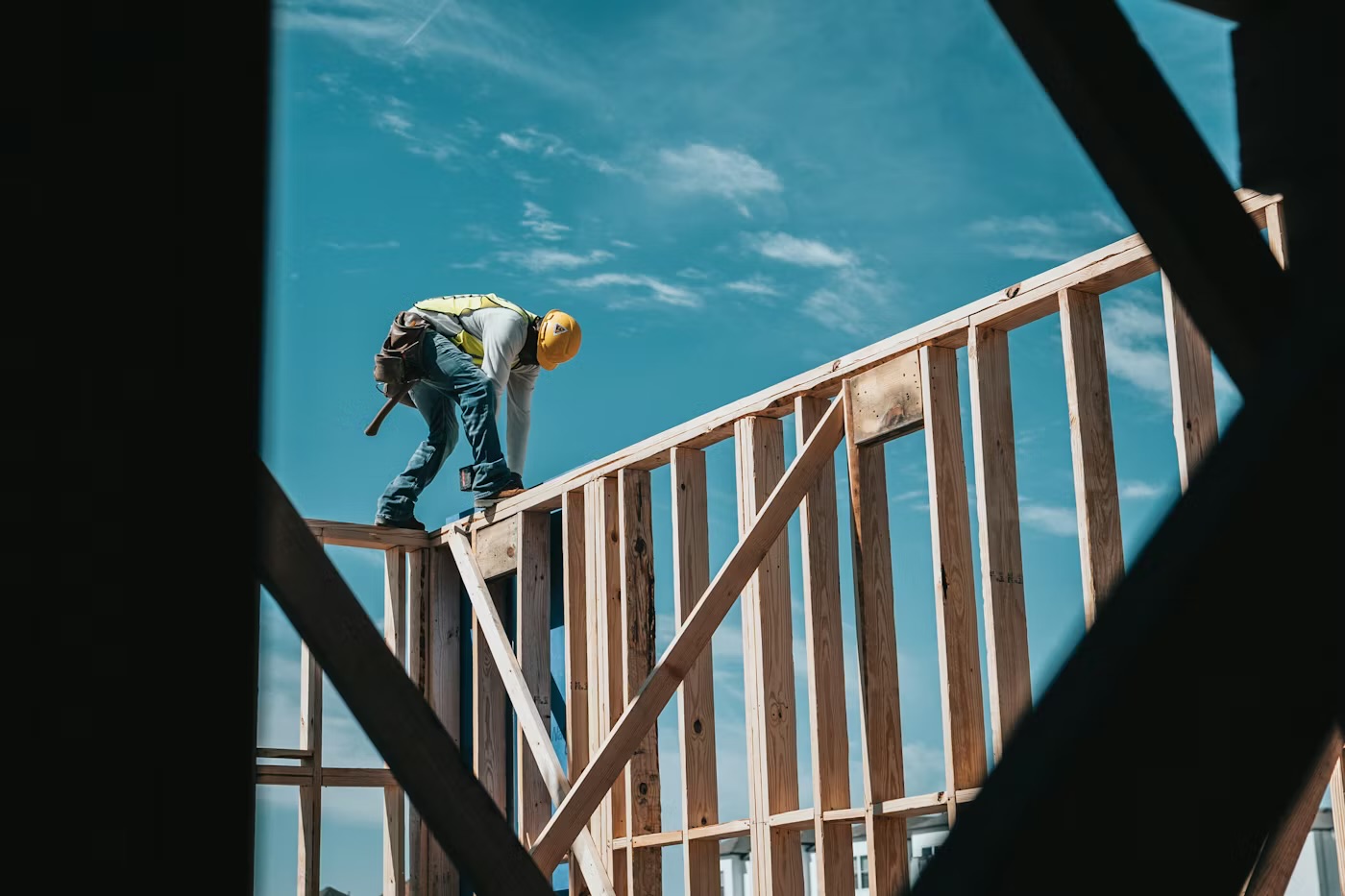
More details have been revealed about the proposed 1,500 new homes, a school and also a link road to the south of Leominster.
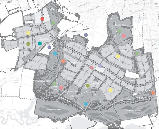
The site is a large area of arable farmland (private land) located to the southern edge of Leominster. Generally, the land comprises a series of fields bordered by hedgerows, with some pockets of existing trees/woodland.
It spans from Barons Cross Road in the west to Hereford Road in the east, with the River Arrow flowing just south of its southern edge. It is dissected by Passa Lane and by Ivington Road.
The site benefits from its location with easy access to the town centre and other key amenities as well as the open countryside.
Vision Statement:
“Land south of Leominster will have a sense of place, identity and character that complements Leominster.
“Extensive new parkland, wildlife areas, play and communal food growing areas will establish an outstanding recreational and wildlife resource which encourages healthy lifestyles.
“The vision aims to create a new place to be proud of, with a variety of well-designed homes supported by new community facilities, a local centre and a primary school.
“A new spine road, will divert traffic away from Leominster town centre, improving air quality and enhancing connectivity.”
The development of the area known as ‘Land south of Leominster’ has been proposed by Herefordshire Council as suitable for development since the preparation of its Local Plan which was ultimately adopted in 2015.
The proposals include the following:
A minimum of 1,500 new homes of different types and sizes.
25% affordable housing.
A new 420 place primary school.
A ‘relief’ road, which will link Barons Cross Road (in the west) to Hereford Road (in the east).
A ‘local centre’ including a supermarket and small-scale retail facilities.
Community and youth facilities within a Community Hub.
Children’s play areas and Allotments.
The site is being promoted by Satnam Investments Ltd and Richborough.Satnam controls the western side of the site, and Richborough controls the east.
Both parties have a long history of bringing strategic scale development to fruition to realise the potential of such land and deliver sustainable growth.
Due to the topography of the site, there is an approach to create landscape ‘layers’ running east-west through the development down towards the lowest point adjacent to the River Arrow, where the expansive Ryelands Park and River Arrow Park are proposed.
The spine road runs through the centre of site allowing vehicular movements across the site, in addition to the extensive network of ‘active travel routes’ to support sustainable travel.
The Local Centre and School will be positioned to the west in proximity to the existing Morrison’s supermarket and other services, and the community hub will be in a more central location.
What is the Local Centre?
The relevant policy requires a supermarket and other “small scale retail facilities”. It is proposed that planning permission will be sought for flexible retail uses including a small supermarket A café, take away, bakery, convenience store, clothing store etc. could all be possible options.
What is the Community Hub?
This will be a space or spaces suitable for hosting community activities such as a meeting venue, hall for hire for groups, clubs etc. and so on.
Tell me about the new school?
The new school will be a two-form entry primary school.
The developers will be providing the land for the school and will work with the Local Planning Authority.
Transport:
When the Local Plan was drawn up, one of the Council’s key aspirations for the development of the site was the delivery of a relief road to divert traffic from the town centre.
The central spine road will carry cars and others vehicles through a low-congestion route, but is designed to support pedestrian, cycle and bus movements through the heart of the development.
It is anticipated that the spine road will comprise a 6.75 metre wide carriageway with a two metre wide verge on both sides, along with a two metre wide footway on one side and a three metre wide shared footway/cycleway on the other.
The spine road will connect into the existing network at each end, via the eastern arm of the Morrisons roundabout junction in the northwest, and via a new large junction with Hereford Road and Southern Avenue to the east.