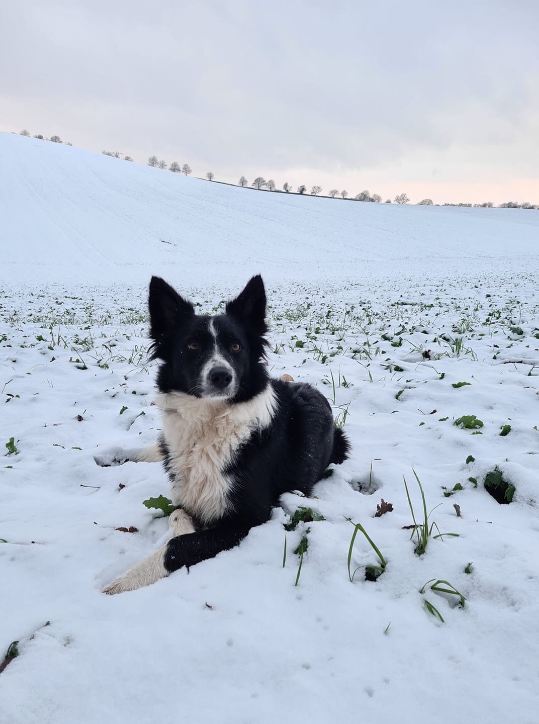
The UK is set to see its coldest week of the winter so far next week, with winds turning easterly, with heavy snow and ice likely across many parts of the country and very low overnight temperatures also expected where any snow settles.
This is what the Met Office are predicting for Hereford……
Outlook for Sunday to Tuesday:
Mostly cloudy on Sunday with a few snow flurries, especially further south. Scattered snow showers on Monday and Tuesday. Feeling bitterly cold throughout in strong easterly winds.
This is what Bryan from Herefordshire Weather Watch is predicting…..
Here’s the reason I’m not thinking we’ll see much snow this weekend. GFS 18z run has just come more onboard on what I’m thinking. We’ll be lucky to get a cm at lower levels if things stay the same but next week is looking better for snow, on Thursday as milder air pushes in and meets the cold. Still some uncertainty as some models seem to suggest colder weather will keep hold past Thursday. Don’t get me wrong some parts of UK will get decent amounts but it’s not looking that way for us but over higher ground some areas are likely to get quite a bit. Things are still changing on every run as to be expected. We’ll see what tomorrows brings but I’ll be surprised if things change that much.
The Met Office has issued a Weather Warning for snow in Eastern Herefordshire:
Cold air, along with snow showers to low levels pushing inland from the North Sea, is expected to spread south during the weekend. Not all locations will see snow, with the showers likely to miss some places altogether. In addition to the showers, there is a chance that an extended period of more persistent snowfall could impact parts of the Midlands and southeast England overnight Saturday and through Sunday. This is all likely to bring areas of accumulating snow through the period with some icy stretches developing, with some parts seeing 5-10 cm, possibly 15 cm of snow. Although disruption from this event could occur anywhere within this region, the Midlands and south-east England is the area most likely to see disruptive snow accumulating more widely, from later Saturday until the middle of Sunday.
More information – UK weather warnings – Met Office


