
The Met Office has issued a weather warning for Thunderstorms across Herefordshire later today.
The risk starts this afternoon, with storms set to carry on into the evening. Despite this, some places in the warning area are likely to stay dry, but places that do get hit by a storm, could see flash flooding and frequent lightning.
The Met Office warning for Herefordshire says:
“A few outbreaks of thundery rain are possible overnight and during the morning, but the main likelihood of heavy showers and thunderstorms is during the afternoon and evening, with longer spells of thundery rain in places.
“Some places may miss most (or all) of the rain, but others could see 30 mm in an hour or less, and perhaps a few spots seeing 60 to 80 mm within 3 to 6 hours.
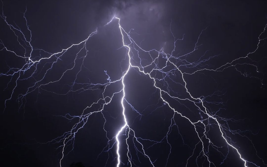
“There is also the potential for frequent lightning, strong winds and hail.
“While uncertainties remain regarding the extent and focus, it is perhaps areas from London northwards across the Midlands, eastern England, east Wales and southern areas of northern England, that currently seem most likely to see disruption.”
You can view the full warning information by visiting the Met Office website – https://www.metoffice.gov.uk/weather/warnings-and-advice/uk-warnings#?id=7fbed77a-dae0-4693-8a24-12c349657221&date=2023-06-18&details
As ever, Your Herefordshire will keep you up to date with the latest travel news on our social media feeds.


