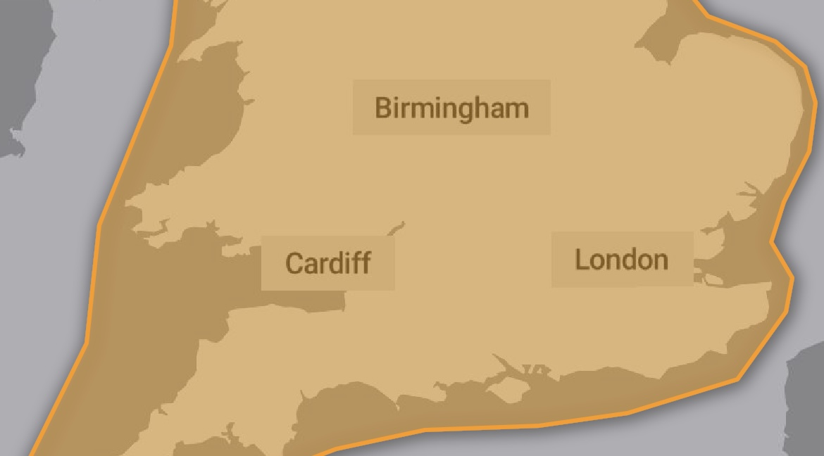
The Met Office is likely to issue a ‘red warning’ for parts of England and Wales later today, with experts saying that Storm Eunice is likely to be the strongest storm in decades.
A spokesperson for The Met Office said:
“Yellow and amber warnings for wind have been issued for Storm Eunice, which is going to impact much of the UK on Friday. The most significant wind gusts are expected in the south and west of the UK, with an amber warning now in force here from the early hours of Friday morning. Exposed coastal areas could see wind gusts in excess of 95mph, while inland areas could still see gusts to around 80mph, bringing the potential for fallen trees, damage to buildings and travel disruption.
“Although Storm Eunice’s strongest winds will be on its southern edge, the northern flank of the system brings the potential for some snow to northern areas. A yellow warning for wind and snow has been issued covering Northern Ireland, northern England and southern Scotland, where potentially up to 20cm of snow could accumulate over high ground, with up to 5cm possible in some lower areas. Brisk winds in this area could cause blizzard-like conditions and drifting of lying snow, reducing visibility, and making driving conditions difficult.”
Katharine Smith, Environment Agency Flood Duty Manager, said: “Strong winds could bring coastal flooding to parts of the west, southwest and south coast of England, as well as the tidal River Severn, in the early hours of Friday morning. This is due to Storm Eunice resulting in high waves and potential storm surge coinciding with the start of a period of spring tides.
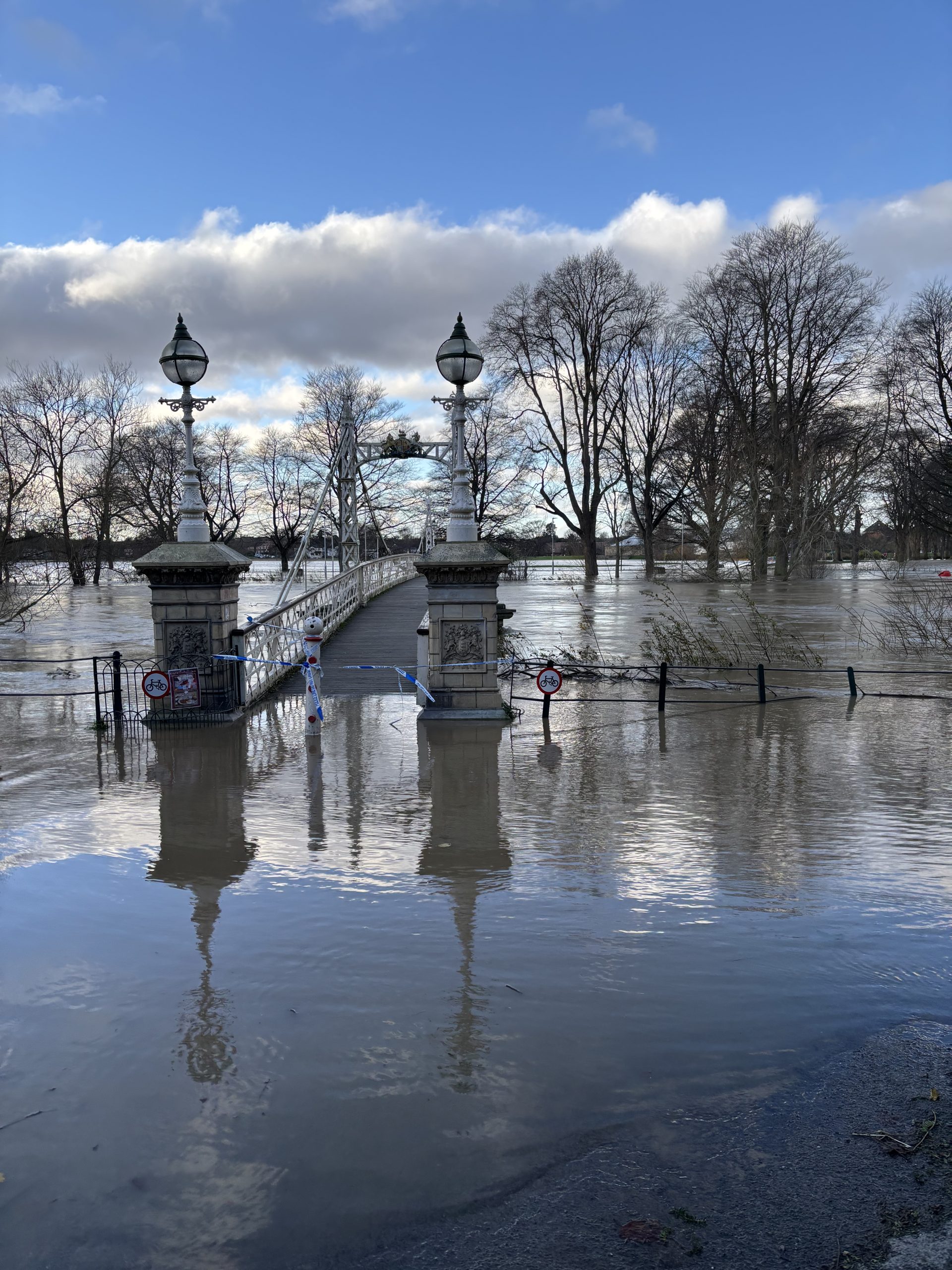
“Please remember to take extreme care on coastal paths and promenades. We urge people to stay safe on the coast and warn wave watchers against the unnecessary danger of taking ‘storm selfies’. Flooding of low-lying coastal roads is also possible and people should avoid driving through flood water as just 30cm of flowing water is enough to move your car.
“You can check your flood risk, sign up for free flood warnings and keep up to date with the latest situation at https://www.gov.uk/check-flood-risk, call Floodline on 0345 988 1188 or follow @EnvAgency on Twitter for the latest flood updates.”
Current Amber Warning for Herefordshire:
Extremely strong winds may develop over southwest England early on Friday, before spreading north and east during the day. Whilst there is still some uncertainty in the track of Eunice, there is an increasing likelihood of widespread inland wind gusts of 60-70 mph and up to 80 mph in a few places. Around coasts of west Wales and southwest England, gusts of 90 or possibly even 100 mph are possible. Winds are expected to ease across western areas through the afternoon, and eastern areas during the evening.
- There is a good chance that flying debris could result in a danger to life
- Damage to buildings and homes is likely, with roofs blown off and power lines brought down
- Roads, bridges and railway lines are likely to close, with delays and cancellations to bus, train, ferry services and flights
- There is a good chance that power cuts, possibly prolonged, could occur and possibly affect other services, such as mobile phone coverage
- Large waves are likely and beach material is likely to be thrown onto sea fronts, coastal roads and properties
- It is likely there will be falling branches and some uprooted trees
Full Details – UK weather warnings – Met Office


