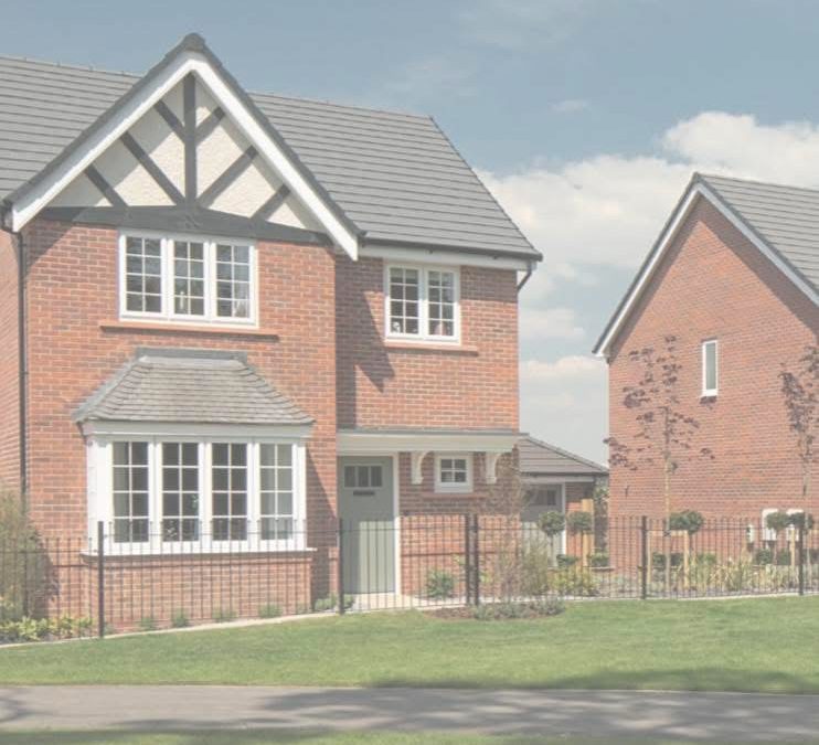
Bloor Homes want to build 540 homes in the Lower Bullingham area of Hereford.
Bloor Homes have this week submitted a planning application that could eventually see 540 new homes built in the Lower Bullingham area of Hereford.
Proposal:
The first phase of an urban extension (known as the Southern Urban Expansion in the Herefordshire Local Plan Core Strategy) comprising upto 540 homes (Use Class C3); employment land (Use Class B and E), local centre and a country park together with supporting public open space, and all other associated works (e.g. demolition of existing industrial buildings, drainage, landscaping and ground modelling).
Allmatters are reserved for future consideration save for ‘access’.
Only the means of access into the site is sought as part of this outline application, not the internal site access arrangements.
Previous discussions have confirmed that a proposal for up to 540 dwellings and circa 5 hectares of employment land could be delivered in advance of any bypass, link road, or wider highway improvements (subject to several on and off-site mitigation measures and assuming the active travel strategy is in place).
The largest land parcel is situated south/west of Watery Lane and the Rotherwas Industrial Estate, and to the north of the B4399. The Red Brook runs centrally through the parcel. To the south there is further agricultural land which forms part of the wider allocated Urban Expansion site.
The red line also extends from this parcel across Watery Lane to Twyford Road to provide for a new bus / cycle / pedestrian connection to the Rotherwas Industrial Estate.
A further land parcel is situated between Green Crize Lane and Lower Bullingham Lane, to the west of the largest land parcel contained in the red line site area. This land parcel lies directly south of the Welsh Marches railway line which separates this part of the Site from the existing built-up area of Lower Bullingham.
An additional area is situated south-west of the largest land parcel, which is proposed as a possible new Country Park. This land parcel is situated to the west of the rear gardens of existing dwellings along Hoarwithy Road and to the east of Norton Brook. The B4399 is situated further south.
Finally, a very small area of land is also included in the red line to the south of the Welsh Marches railway line and west of Watery Lane to allow a vehicle-by-pass facility on Watery Lane for use by residents along the lane in time of flood.

