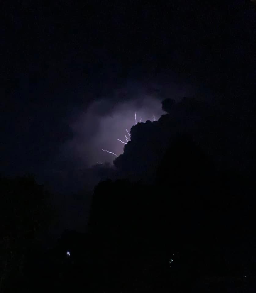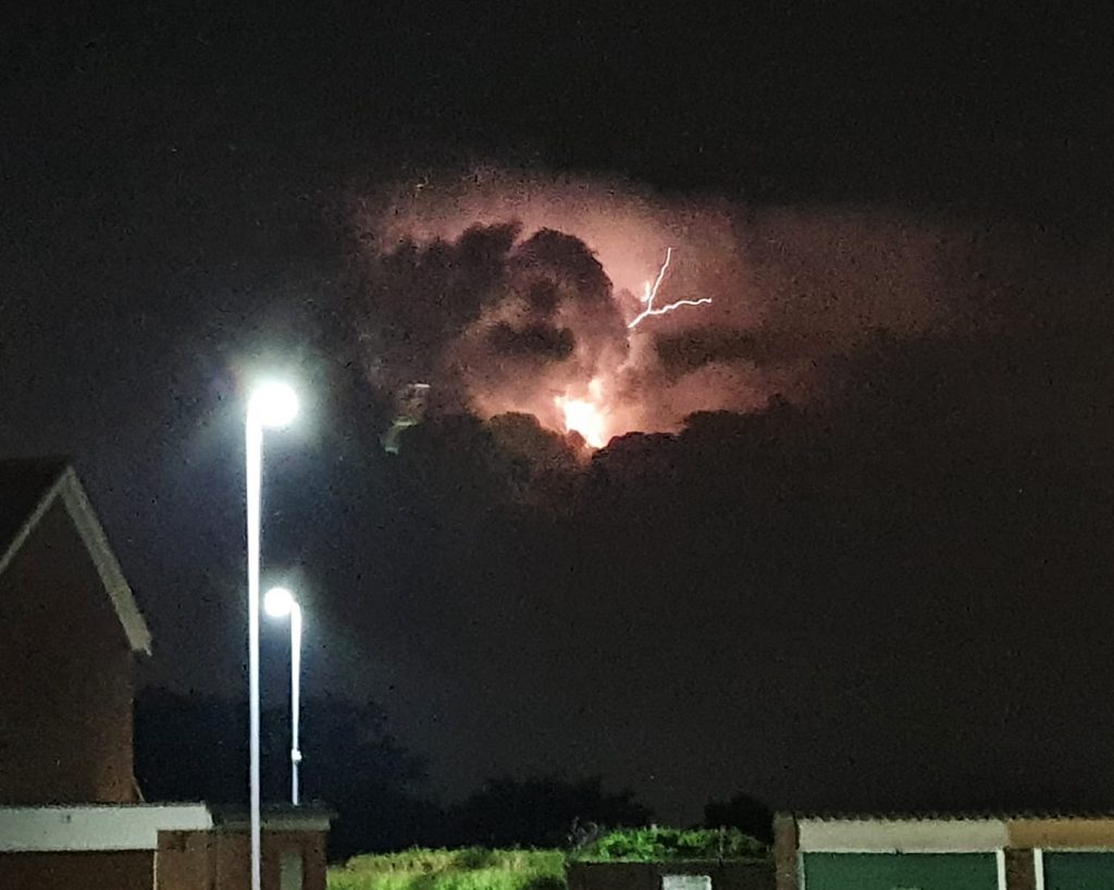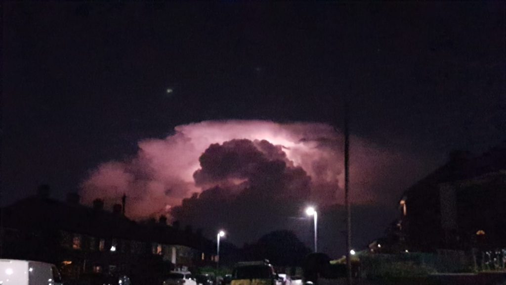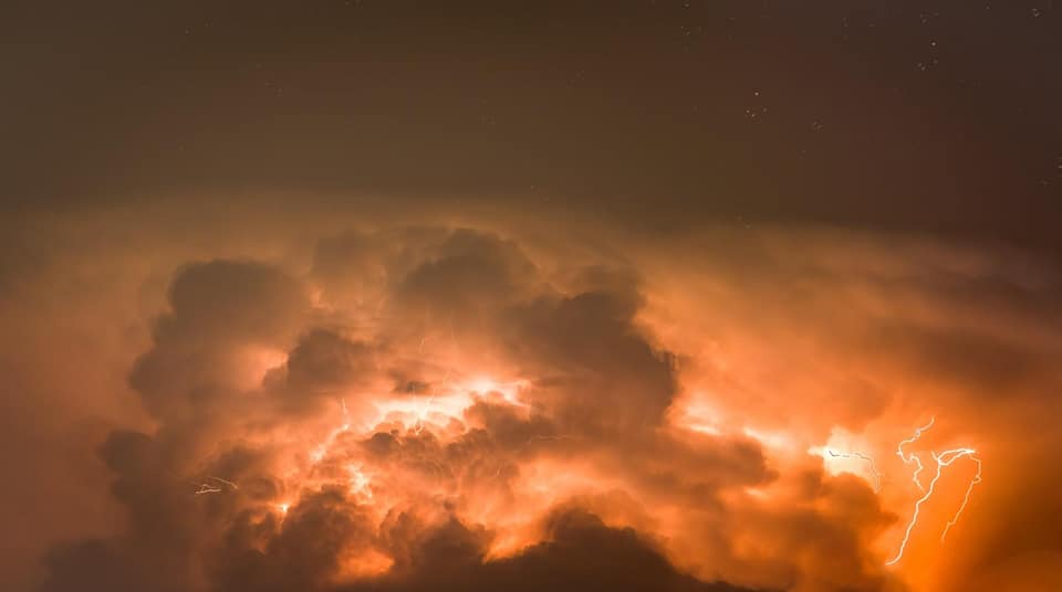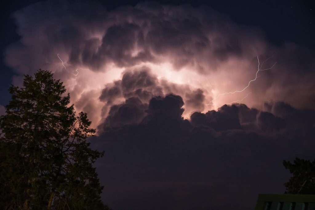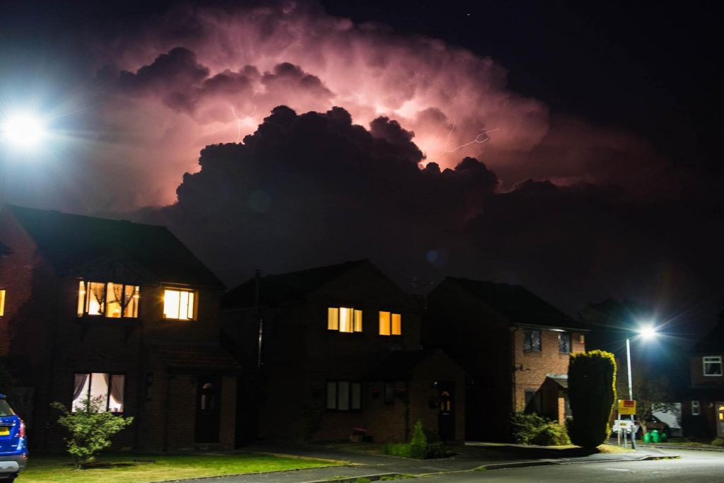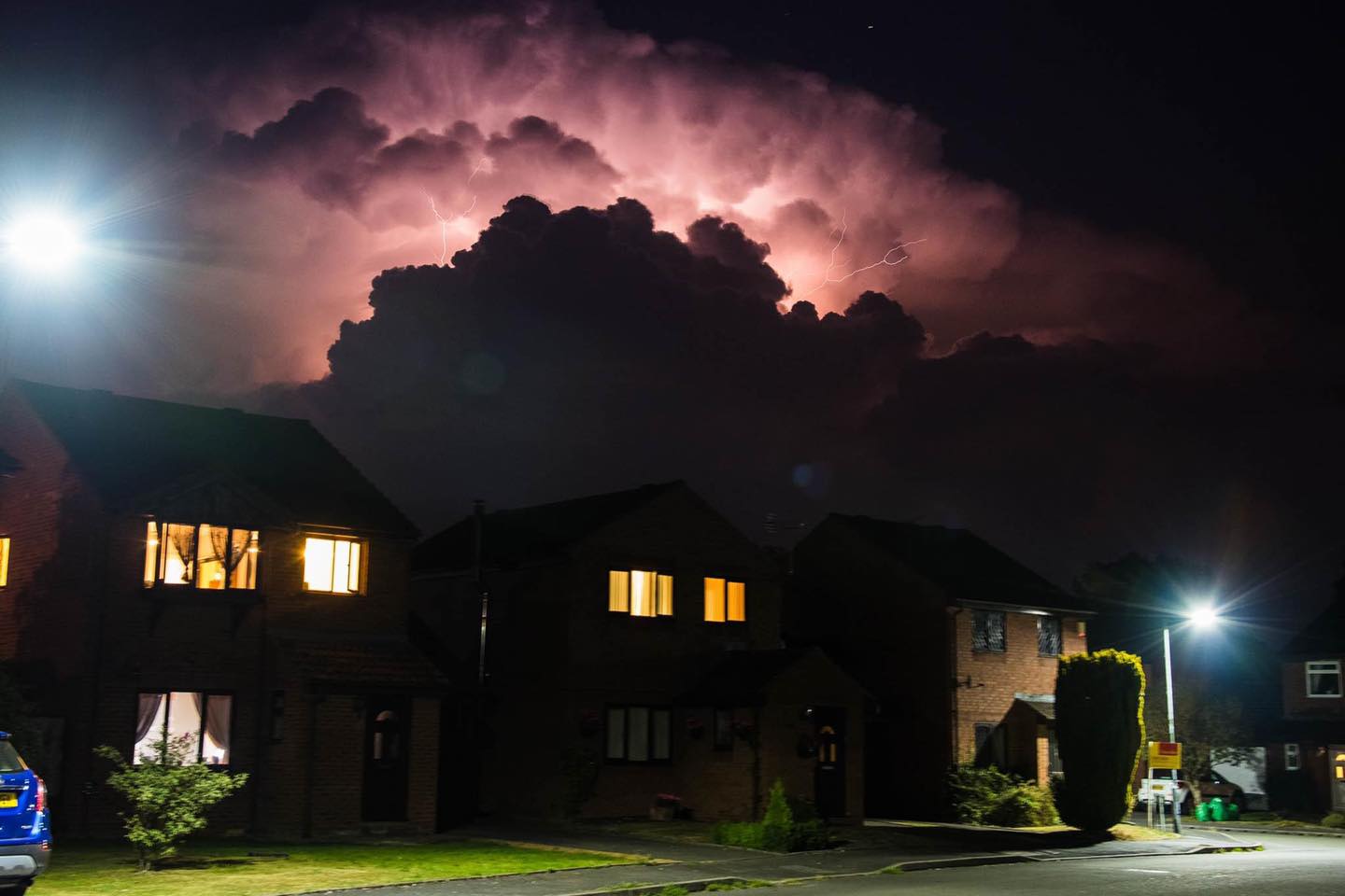
Herefordshire was treated to an amazing lightning show overnight, thanks to a storm that hit North Worcestershire and other parts of the Midlands. The lightning was eerie in itself due to the lack of thunder and any rain. Not everywhere missed the thunder and the rain though, with torrential rain reported in areas like Birmingham and Wolverhampton.
The lightning crawled across the clouds almost every second at the height of the show, with some spectacular photos sent in by our followers on social media.
Further thunderstorms are expected later today and into tomorrow, as the hot spell comes to an end later this week. The Met Office has a Weather Warning out for thunderstorms today, with the risk of flooding and damage to property.
The warning states:
“Whilst many parts will see a good deal of dry weather, areas of thunderstorms are likely to develop over parts of the UK or nearby continent, and will generally track north or north-westwards, potentially affecting many parts of the UK at some point.
“Eastern Scotland looks most at risk during the early hours of Wednesday, then southern parts of the UK see the risk increasing later in the day. Where the storms occur the will be intense.
“Rainfall totals of 30-40 mm could fall in an hour, with some locations potentially receiving 60-80 mm in 3 hours, although these will be fairly isolated. Large hail, frequent lightning and gusty winds will be additional hazards.”
Here are a selection of photos from the overnight storm: