Herefordshire Council’s multi-million pound roads investment, to bring benefits to local families, businesses and key services, continues with works now under way on a programme of surface dressing works.
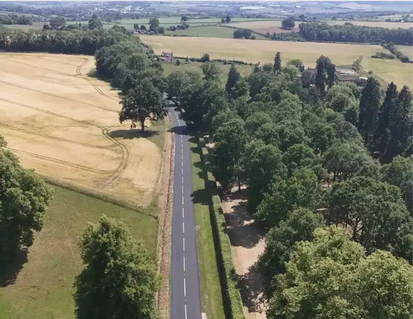
The programme runs from 18 July to mid-August and will cover roughly 58 miles of road surface across the county, which is the same distance as between Hereford City Centre and Birmingham New Street Station.
This is part of an investment of £2.5m this year in surface dressing to provide preventative treatment, which is encouraged by the Department for Transport as part of good asset management.
The process involves applying a layer of bitumen binder to the existing road surface followed by a layer of stone chippings.
The chippings are then rolled into the binder to create a durable and skid-resistant surface.
This process helps to seal the road surface, preventing water from penetrating and causing damage to the underlying layers, and helping to prevent potholes from forming.
Due to the sealing process involved, surface dressing works can only be carried out in appropriate weather conditions.
Councillor Barry Durkin, Cabinet Member Roads and Regulatory Services, said:
“The condition of our roads is a top priority for our residents and businesses and for us as a Local Authority. Surface dressing is an important part of our road maintenance that helps to extend the life of an existing surface, reduce further deterioration of the road’s condition, improve the skid resistance of the road surface and seal the road against water preventing potholes forming in winter.
“This additional investment is helping to support local people, services and businesses by providing a more reliable and resilient road network.”
The roads that will be surface dressed are:
- C1019 – Killhorse Lane
- U91621 – Stonewall Hill
- U91617 – The Stocking, Stapleton
- C1031 – From A44 to Lowe Farm Lane
- C1081 – Sherrington Road to Gorsty Cottage
- C1031 – Spond Lane from J/W A480 to J/W A4111
- B4352 – Bredwardine to U75224, Pentre Lane
- U75208 – Hardwicke Court Road
- U75235 – Browns Lane, Dorstone
- U75232 – Pont Y Weston Road
- U75016 – The Glibes, Michaelchurch Escley
- C1206 – From C1205 to Crossway
- C1219 – Lower House Road to The Vroe Road
- U74419 – Hill Road, Hill Farm, Rowlestone
- C1219 – From A465 to The Vroe Road
- C1250 – Little Trereece to Llangarron
- U71214 – Treribble Lane, Llangarron
- C1234 – Little Hill To (Old Hall) Audits Bridge
- C1230 – From B4348 to Knolton Brook
- U73405 – Dewsall Road
- U73209 – Stone Street, Madley
- C1095 – A4103 to Tillington
- C1095 – Hill Road to Brinsop Court (C1101)
- C1095 – Weobley to Hill Road
- C1091 – Venmore Lane, Dilwyn
- U72630 – Mill Lane, Wellington
- U72632 – Auberrow Lane to Moreton on Lugg Road (A49)
- C1120 – From Brook House Farm (J/W C1120) to U72622
- C1110 Pencombe to Hackley Cottages
- C1118 – A417 to Broxash Cottage
- U66004 – Rams Corner Access Lane, Little Cowarne
- U65021 – B4203 to Brockhampton Primary School
- U65007 – Upper House Farm Road, Wolferlow
- U66200 – Town Farm Road, Castle Froome
- C1303 – Putley to Woolhope Cockshoot
- C1295 – From Woolhope Cockshot to Nupend Farm
- U67412 – Terrace Farm Road, Woolhope
- U72214 – Hawkers Lane, Fownhope
- C1296 – From B4224 to Fishpool Hill Track
- C1297 – Mordiford to Woolhope
- U71005 – Sellack Boat
- C1261 – From Railway Line to Burn Heys Lodge
- B4024 – From Much Marcle to county boundary