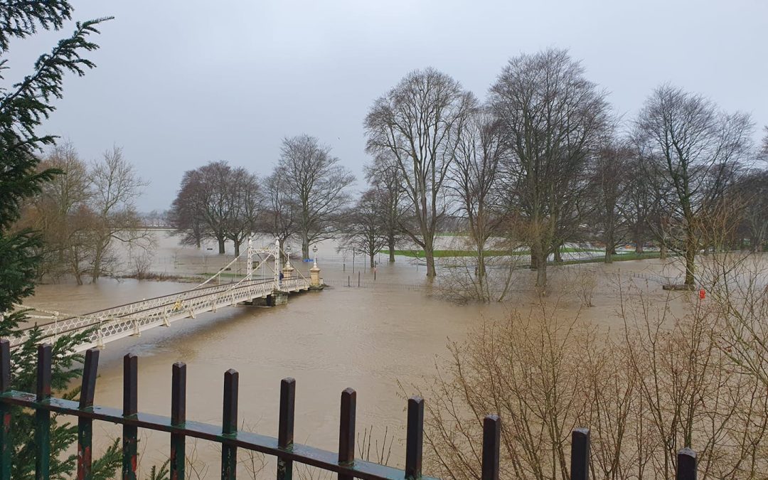
Parts of Herefordshire are braced for further flooding this week, with levels on the River Wye rising once again.
Heavy rain across parts of Mid Wales has led to river levels on the River Wye rising once again. Fortunately, less rain than expected fell in Wales on Tuesday, but further rain is forecast today and tomorrow.
Riverside paths are expected to flood in Hereford today, with a peak level of around 4 metres expected later this morning or early this afternoon. A further, even higher peak is expected later this week.
Flood Alerts remain in force on other rivers in the county, such as the River Lugg and River Arrow.
A Met Office Weather Warning for heavy rain has been issued for parts of Herefordshire, Wales and South West England.
The warning from the Met Office says:
“A spell of persistent rain will begin on Wednesday evening, spreading east across parts of England and Wales through Thursday.
“The rain is expected to be heavy at times, particularly across higher parts of southwest England and Wales, while periods of lighter, more intermittent rain are possible away from high ground.
“Rainfall accumulations through the period are widely expected to be 15-30 mm, but peak totals of 60-80 mm could build up over higher ground.
“In addition, very strong west or southwest winds are expected, producing gusts to 45 mph inland and 60 mph along some coasts and across high ground, with the peak in the winds most likely on Wednesday night.”
More Details – https://www.metoffice.gov.uk/weather/warnings-and-advice/uk-warnings#?id=cd2c5d17-556e-4519-9963-001718eabc23&date=2023-01-11&details
You can also keep up to date with the latest flood alerts and flood warnings by visiting the following link – https://check-for-flooding.service.gov.uk/alerts-and-warnings#alerts


