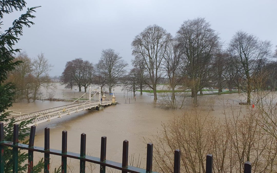
Residents living near the River Wye in Herefordshire are once again being told to be prepared for possible flooding, with heavy rain across parts of Wales today.
River levels peaked in Hereford on Sunday at around 4.8 metres, meaning that riverside paths were flooded and some roads, but there are concerns that levels could rise even higher over the next 24-48 hours, with three to four inches of rain predicted across the hills of Mid Wales.
Levels are once again rising upstream at Pant Mawr, Rhayader and Builth Wells and will start rising in Herefordshire over the coming hours.
A Met Office Weather Warning issued for Powys says:
“Outbreaks of rain will spread across England and Wales during Tuesday. This will be heaviest and most persistent across parts of Wales, particularly over higher ground. Rainfall totals of 80-100 mm could accumulate over high ground.”
More Details – https://www.metoffice.gov.uk/weather/warnings-and-advice/uk-warnings#?id=e0176288-56f9-49f1-b78f-5aafe2564936&date=2023-01-10&details
A flood alert is currently in place on the River Wye in Herefordshire, with this likely to be upgraded to a Flood Warning should river levels rise significantly following heavy rain.
Flood alerts are also in place on several other rivers in the county, including the River Arrow, River Lugg, Upper Teme and River Leadon Catchment.
Further spells of heavy rain are forecast this week.
We’ll have another update on the situation early this afternoon.


