
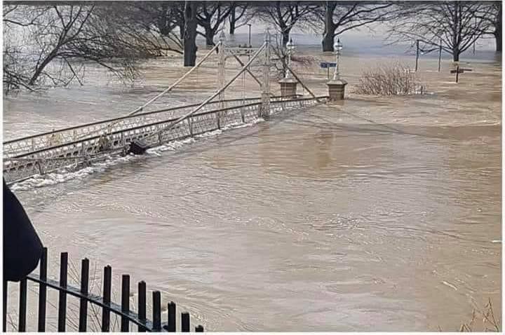
The Environment Agency is keeping a close eye on rainfall in Wales this weekend, with flooding impacts possible on the River Wye in Herefordshire.
Dave Throup (Environment Agency Manager for Herefordshire & Worcestershire) posted the following message on Twitter earlier this evening:
“Could be a lot of rain over the next few days across Wales.
“Worst looks like missing our river catchments but we’re closely monitoring amounts over the upper Wye and western Herefordshire.”
Meanwhile, the Met Office have issued a weather warning for South Wales:
Following recent rain, and further rain on Thursday, another band of rain is expected to become slow moving over Wales and western England on Friday. Whilst many places will see a spell of heavy rain, high ground of southwest England and south Wales, exposed to the south, will likely see the largest rainfall totals. Here, some 70-100 mm of rain is possible, with the most exposed parts of Dartmoor and the Brecon Beacons potentially seeing up to 150 mm by Sunday lunchtime. The rain now looks most likely to finally clear on Sunday, although precise timings at this stage are somewhat uncertain. As well as heavy rain, strong to gale force southerly winds will be an additional hazard.


