
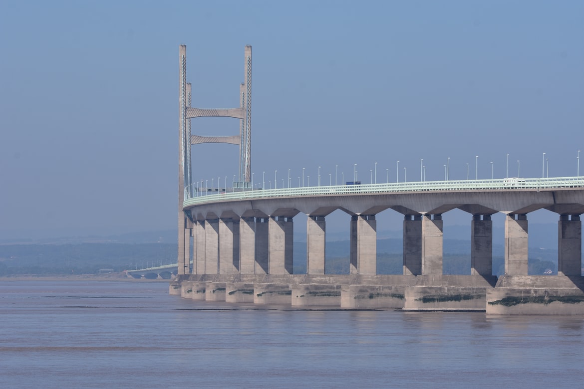
9 Severe Flood Warnings have been issued for the Lower Wye and Lower Severn, with a tidal surge likely to spread up the Severn Estuary tomorrow morning in association with Storm Eunice.
The 9 Severe Flood Warnings are as follows:
- Epney on the Severn Estuary Updated at 2:27pm on 17 February 2022
- Framilode and Priding on the Severn Estuary Updated at 2:27pm on 17 February 2022
- Frampton, Upper Framilode and Saul on the Severn Estuary Updated at 2:27pm on 17 February 2022
- River Severn at Hempsted Updated at 2:28pm on 17 February 2022
- River Severn at Minsterworth and Stonebench Updated at 2:28pm on 17 February 2022
- Tidal Severn from Elmore to Rodley Updated at 2:27pm on 17 February 2022
- Westbury, Broadoak and Newnham on the Severn Estuary Updated at 2:31pm on 17 February 2022
- Wye Estuary at Brockweir Updated at 3:41pm on 17 February 2022
- Wye Estuary at Elmdale, Chepstow Updated at 3:41pm on 17 February 2022
The Environment Agency is urging coastal communities in the south west and south coasts of England, especially communities along the tidal River Severn and Wye in Gloucestershire, to prepare for expected flooding impacts from Storm Eunice.
The storm is continuing to bring strong winds across the UK, resulting in high waves and a potential storm surge coinciding with high spring tides. As a result of this extreme weather, severe flood warnings, meaning there is a threat to life, will be issued for parts of the tidal Severn Estuary and River Wye in Gloucestershire.
In addition, as of 13:30pm, there are a further 11 flood warnings, meaning that flooding is expected, and 58 flood alerts, meaning that flooding is likely. It is expected that these numbers will rise over the coming hours.
The Environment Agency is working around the clock to help keep communities and people safe. Teams are working to erect barriers, clear screens and close flood gates along the tidal River Severn, the south west of England and other affected areas. Incident rooms have also been scaled up in affected areas to support potentially impacted communities.
Members of the public are also being urged to sign up for free flood warnings and ensure they know what to do in case of flooding.
Stefan Laeger, the Environment Agency’s Flood Duty Manager, said:
The public should take extreme caution as strong winds resulting in a storm surge and large waves are expected bring potentially severe coastal flooding to parts of the west, south-west and south coast of England, as well as the tidal Rivers Severn and Wye in Gloucestershire, from the early hours of Friday morning. This is due to Storm Eunice coinciding with a period of spring tides and large waves. Further spells of heavy rain are expected this weekend.
Environment Agency teams are out on the ground closing gates, erecting barriers and clearing screens where flood debris can build up, and stand ready to operate further flood defences if needed. Flood gates are now shut on north and south coasts of Devon and Cornwall. Working with our partners in local resilience forums, we are planning for emergency response to keep people safe where flooding does occur.
Please remember to take extreme care on coastal paths and promenades. We urge people to stay safe on the coast and warn wave watchers against the unnecessary danger of taking ‘storm selfies’. Flooding of low lying coastal roads is also possible and people should avoid driving through flood water as just 30cm of flowing water is enough to move your car.
Type ‘check my flood risk’ online to sign up for free flood warnings and keep up to date, follow @EnvAgency on Twitter for the latest flood information or call Floodline on 0345 988 1188.
Met Office Chief Meteorologist Frank Saunders said:
After the impacts from Storm Dudley for many on Wednesday, Storm Eunice will bring damaging gusts in what could be one of the most impactful storms to affect southern and central parts of the UK for a few years.
The red warning area indicates a significant danger to life as extremely strong winds provide the potential for damage to structures and flying debris. Although the most exposed coastal areas in the south and west could see gusts in excess of 90mph, winds will remain notably strong further inland, with gusts of between 70-80mph for most within the amber warning area.
Contains public sector information licensed under the Open Government Licence v3.0.


