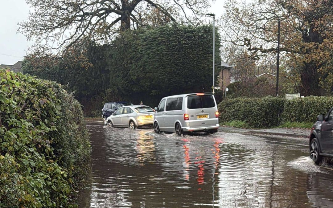
The Environment Agency has issued an update on the flooding situation across Herefordshire.
Further heavy rain could cause river levels to rise further and cause more flooding on roads as we approach the weekend.
River Wye – Herefordshire:
Flooding may affect low lying land and roads along the River Wye from Hay on Wye to Ross on Wye.
Other locations affected may include the A438 between Letton & Willersey, Byford, Bredwardine & Hereford. Road closures & diversions on the A438 may be in force.
Predicted peaks:
Hay on Wye 1.7m to 2.1m on 13/11 AM, second peak Saturday.
Bredwardine 3.0m to 3.5m on 13/11 AM, second peak Saturday.
Belmont 3.3m to 3.6m on 13/11 AM, second peak Saturday.
Old Wye Bridge 2.9m to 3.2m on 13/11 AM, second peak Saturday.
Mordiford 3.3m to 3.7m on 13/11 AM, second peak Saturday.
Ross on Wye 3.4m to 3.7m on 13/11PM, second peak Saturday or Sunday.
River Lugg – south of Leominster:
Flooding may affect low lying land and roads adjacent to the River Lugg south of Leominster from Stoke Prior to Mordiford.
Other locations that may be affected include Bodenham, Lugwardine and Hampton Bishop.
River Frome:
Flooding may affect low lying land and roads along the River Frome from Bromyard to Hereford.
Other locations that may be affected include Bishops Frome and Yarkhill.
River Arrow:
Flooding may affect low lying land and roads along the River Arrow from Michaelchurch to Brierley.
Other areas that may be affected include Kington, Staunton and Eardisland.
River Teme:
Forecast rising river levels today may lead to flooding. Flooding is possible from 12 November 2025.
Flooding may affect low lying land and roads adjacent to the River Teme from Ludlow to Bransford.
Locations that may be affected include Wyson, Ludlow, Tenbury Wells and Knightwick.
You can view the latest flood alerts by visiting – https://check-for-flooding.service.gov.uk/alerts-and-warnings

