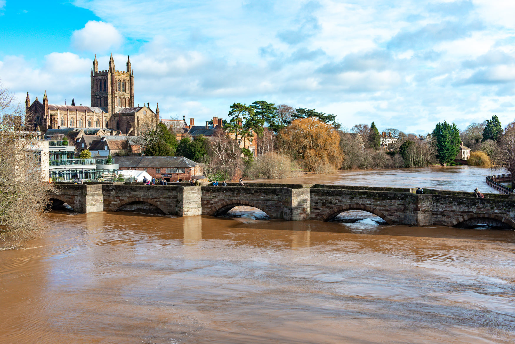
With autumn here and winter approaching, those living next to rivers, in particular the River Wye in Hereford, will be wondering whether they are likely to be affected by flooding again.
In February 2020, The River Wye reached its highest ever level in Hereford, with levels peaking at 6.1 metres, half a metre higher than the previous record level. Hereford’s flood defences held strong, but further downstream significant flooding occurred, with a number of riverside properties flooded.
Many of those living next to rivers know the risks of flooding, but what surprises many is that flash flooding can occur in areas that you simply wouldn’t expect it and therefore prevention and taking measures to prepare yourself for the worst possible outcome, can help should flooding suddenly happen.
Do you live in an area that’s likely to flood in the future? Check your long term flood risk and view your area’s flood maps.
Sign up for flood warnings if your property is at risk of flooding. This service is free.
You can get the Environment Agency’s flooding history of a property by sending them the property’s address. If you do not know the postcode, you can send a map of the area – you can attach a file or include a link to an online map.
Not including enough information to identify the property may delay your report.
Email your request to enquiries@environment-agency.gov.uk
Reports are free if they take less than 18 hours to put together. If your report will take more than 18 hours, the Environment Agency will either:
- tell you they cannot do the report
- ask you if you’ll pay the cost of preparing the report
If you agree to pay, the report will cost you at least £450 (for the first 18 hours) plus £25 for every extra hour it takes.
You’ll be sent the report by email within 20 working days.
Contains public sector information licensed under the Open Government Licence v3.0.