
River levels on the River Lugg and River Wye in Herefordshire have peaked this morning.
Although, the Lugg is still to peak between Bodenham and Hereford.
Levels on the Wye in Hereford peaked at around 4.9 metres overnight but some riverside paths are underwater, as well as the usual prone spots like Watery Lane.
Road Closures:
- Watery Lane, Lower Bullingham
- A4110 Leintwardine
- A4113 Leintwardine
- A438 Letton
- B4362 Presteigne
- B4361 Hereford Road, Leominster
- B4360 Kingsland
- Scar Lane, Dorstone
- U93408 Ledgemore Road
- C1112 Ford Bridge
- Millcroft Road, Bodenham
- U93605 Newtown Lane, Leominster
- C1122 Wellington
- C1125 Shelwick
- C1120 Moreton-On-Lugg to Marden
- C1046 Millbrook Way
- C1127, Southbank Road, Hereford
- C1046, Millbrook Way, Orleton
- C1081 with the A4112, Sarnesfield
- C1086 Waterloo Lane Kinnersley To A438 Letton, Letton
- Updates on the A49 are available from the Highways Agency X feed
Reopened
- U71201 Tuck Mill Lane Marstow
- Logaston Road, Woonton
- A438 Winforton
- B4521 Broad Oak
- C1055 Stoke Prior
- A465 Pontrilas
- C1035 Eardisland
- Hinton To Nags Head Road
- A4110 Canon Pyon
- A4110 Wigmore
- U72630 Mill Lane, Wellington
- Brampton Road, Ross On Wye
- B4399 Holme Lacy
- B4348 from Madley to Dorstone
- C1207 Peterchurch
- B4347 Ewyas Harold
- A480 Mansel Lacy
- U75225 Dorstone Village Lane, Dorstone
- A4112 Sarnesfield
- A4110 Monkland to Stretford
- A44 Monkland
- C1268 Holme Lacy Road
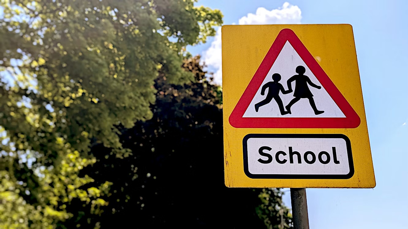
Peterchurch Primary School has announced that it will remain closed on Monday following flooding on Wednesday morning.