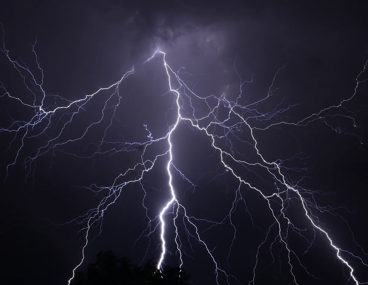
It will be another hot day today, but the Met Office has issued a weather warning for Herefordshire, with thunderstorms and up to 40-60mm of rain possible in places later today.
Most areas are likely to miss the thunderstorms, but the areas that do catch them will see downpours, with localised flooding and frequent lightning a possibility.
The Met Office warning for Herefordshire says:
“Thunderstorms are likely to break out in some areas, particularly during the afternoon and early evening.
“While most places will probably miss them, where thunderstorms do occur there is a chance that in a few places up to 40 mm of rain could fall in an hour or so and 40 to 60 mm could fall in two or three hours.
“These torrential downpours may be accompanied by frequent lightning, whilst gusty winds and hail may also affect a few places.
“The exact location of the thunderstorms will be hard to pinpoint, so the warning area will be kept under review and updated if necessary.”
More Details – UK weather warnings – Met Office
Fresher weather set to follow, with a mixtures of sunny spells and showers over the weekend, with a fresh breeze.
Friday:
A dry morning for many with some sunny spells. Scattered showers will develop for the afternoon, these becoming heavy and possibly thundery in places. Much cooler than Thursday. Maximum temperature 21 °C.
Outlook for Saturday to Monday:
Changeable over the next few days with showers or longer spells of rain. The showers will be heavy and thundery in places and will be accompanied by brisk southwesterly winds.
More Details – Credenhill (Herefordshire) weather – Met Office